

¡Agotado, pero muy deseado!


Más información sobre el libro
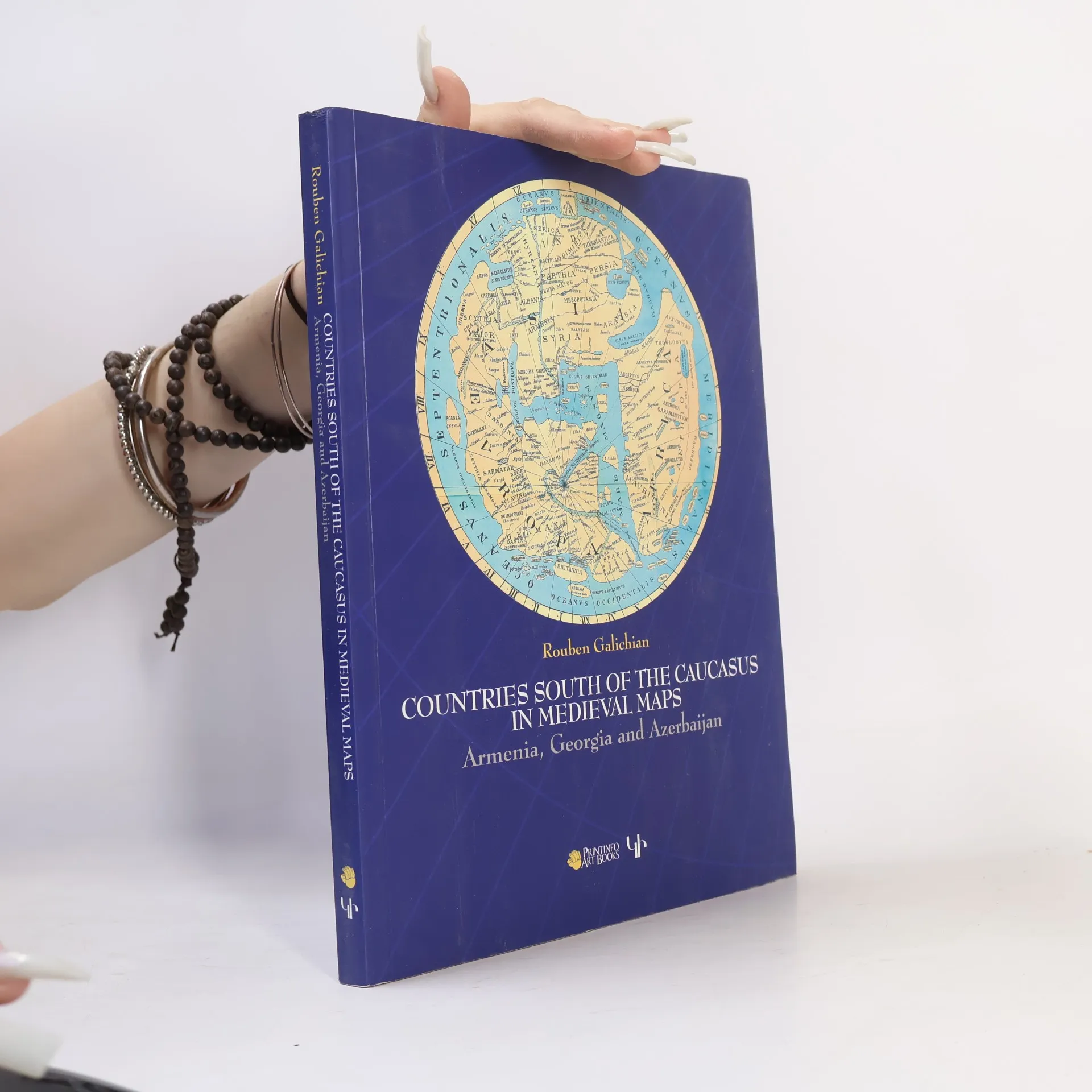
This work presents the medieval historical cartography of the south Caucasus. Volume contains 82 mediaeval maps with 24 details from Latin, Byzantine, Islamic, Syriac and Armenian traditions. 98 of these illustrations are in full colour. Co-published by Gomidas Institute (London) and PrintInfo (Yerevan).
Compra de libros
Countries of the Caucasus in Medieval Maps, Rouben Galichian
- Idioma

- Publicado en
- 2007
- Encuadernación
- (Tapa blanda)
Te avisaremos por correo electrónico en cuanto lo localicemos.
Métodos de pago
Nadie lo ha calificado todavía.
- Título
- Countries of the Caucasus in Medieval Maps
- Subtítulo
- Armenia, Georgia and Azerbaijan
- Idioma
- Inglés
- Autores
- Rouben Galichian
- Editorial
- Gomidas Institute
- Publicado en
- 2007
- Formato
- Tapa blanda
- Páginas
- 208
- ISBN10
- 1903656699
- ISBN13
- 9781903656693
- Serie
- Etiquetas
- Tema histórico, Tecnología, Europa del Este, Cartografía, Geografía histórica, Georgia, Armenia
- Descripción
- This work presents the medieval historical cartography of the south Caucasus. Volume contains 82 mediaeval maps with 24 details from Latin, Byzantine, Islamic, Syriac and Armenian traditions. 98 of these illustrations are in full colour. Co-published by Gomidas Institute (London) and PrintInfo (Yerevan).