



Más información sobre el libro
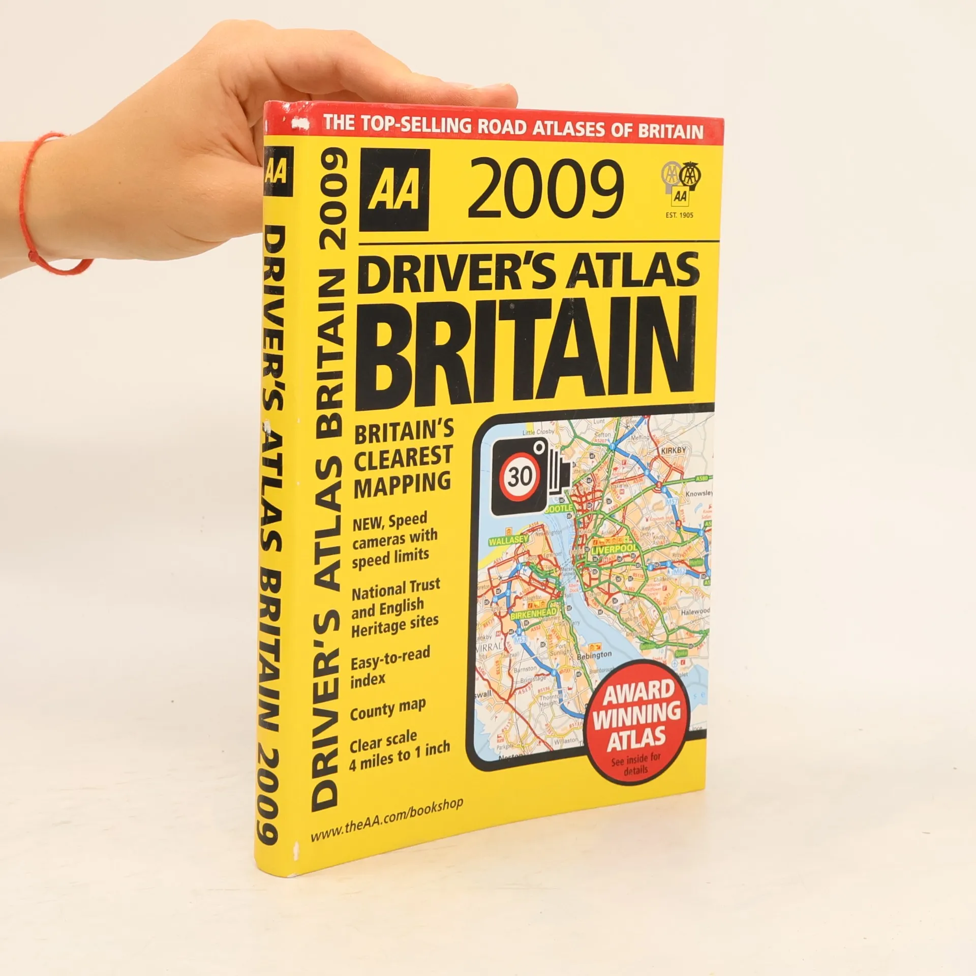
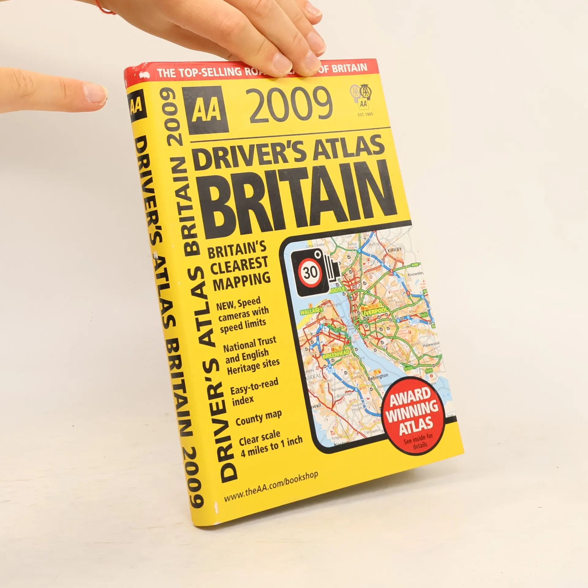
This handy, flexibound glovebox-sized road atlas combines large scale mapping with an easy-to-carry A5 format. Each page has been titled with its geographical location so you can turn to the page you need more easily. Static speed camera locations with speed limits are pinpointed on the mapping. There is also a full-color county, unitary, and administrative area map; easy-to-use mileage chart; and clear easy-to-read index with more than 23,000 place names including airports, top tourist sites, and motorway services listed. Wide minor roads and National Trust, English, and World Heritage sites are also shown. The paper in this atlas is produced from environmentally sustainable sources. The Highway Code on CD is included plus tourist sites with Sat Nav friendly postcodes listed.
Compra de libros
AA Driver's Atlas Britain 2009, Automobile Association (Great Britain)
- Idioma

- Publicado en
- 2008
- Encuadernación
- (Tapa blanda),
- Estado del libro
- Dañado
- Precio
- 1,61 €
Métodos de pago
Nadie lo ha calificado todavía.
- Título
- AA Driver's Atlas Britain 2009
- Idioma
- Inglés
- Editorial
- AA Publishing
- Publicado en
- 2008
- Formato
- Tapa blanda
- Páginas
- 328
- ISBN10
- 0749556846
- ISBN13
- 9780749556846
- Serie
- Categorías
- Etiquetas
- Viajes, Europa, Gran Bretaña, Atlas
- Descripción
- This handy, flexibound glovebox-sized road atlas combines large scale mapping with an easy-to-carry A5 format. Each page has been titled with its geographical location so you can turn to the page you need more easily. Static speed camera locations with speed limits are pinpointed on the mapping. There is also a full-color county, unitary, and administrative area map; easy-to-use mileage chart; and clear easy-to-read index with more than 23,000 place names including airports, top tourist sites, and motorway services listed. Wide minor roads and National Trust, English, and World Heritage sites are also shown. The paper in this atlas is produced from environmentally sustainable sources. The Highway Code on CD is included plus tourist sites with Sat Nav friendly postcodes listed.