

Más información sobre el libro
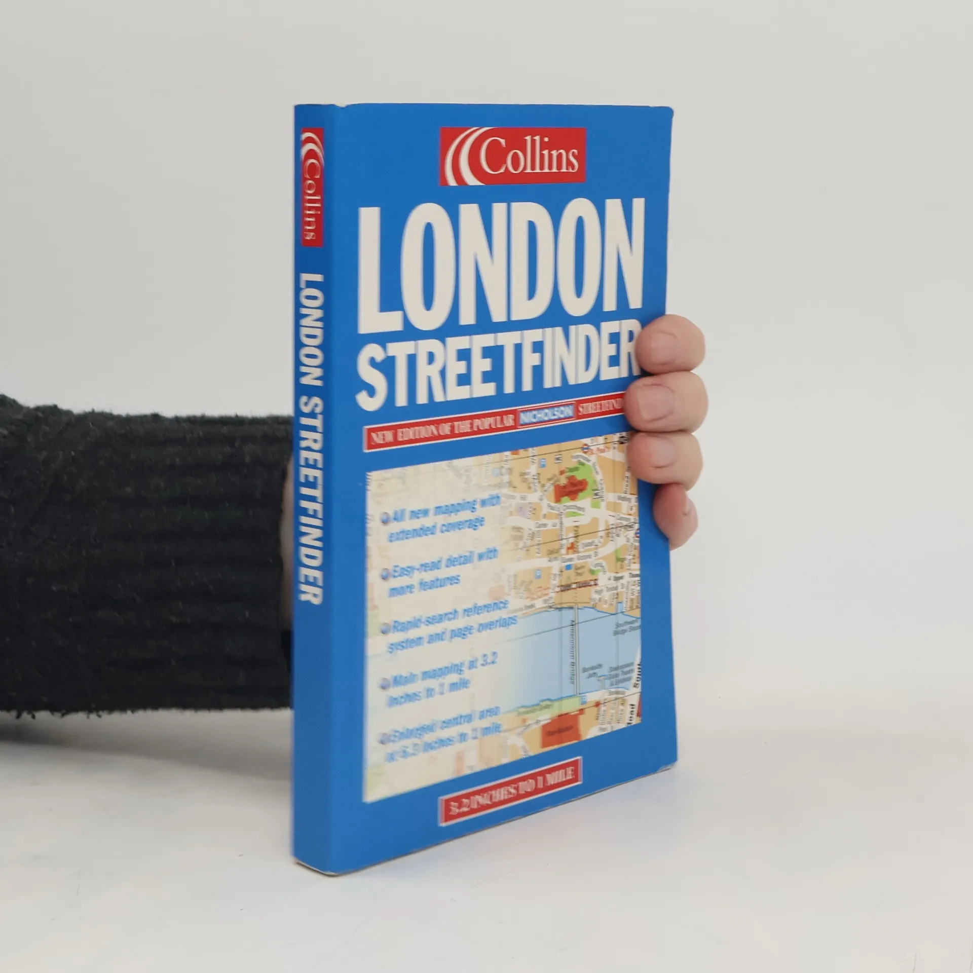
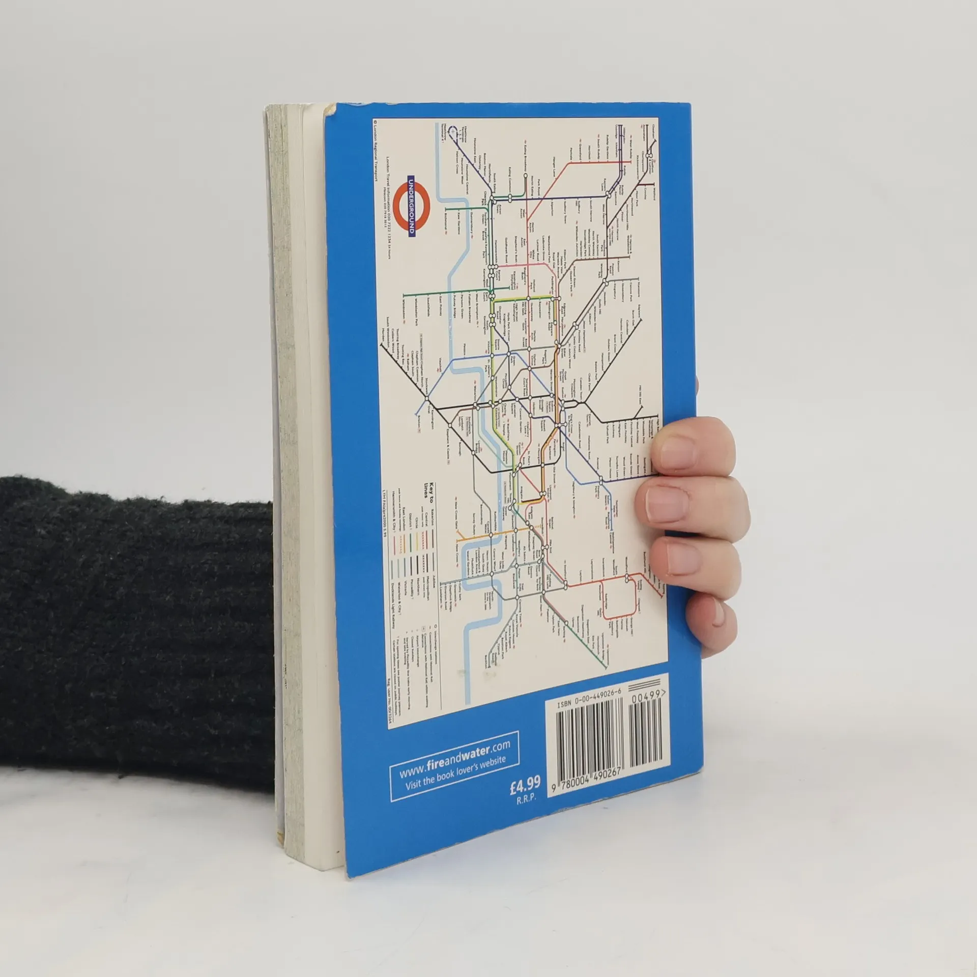
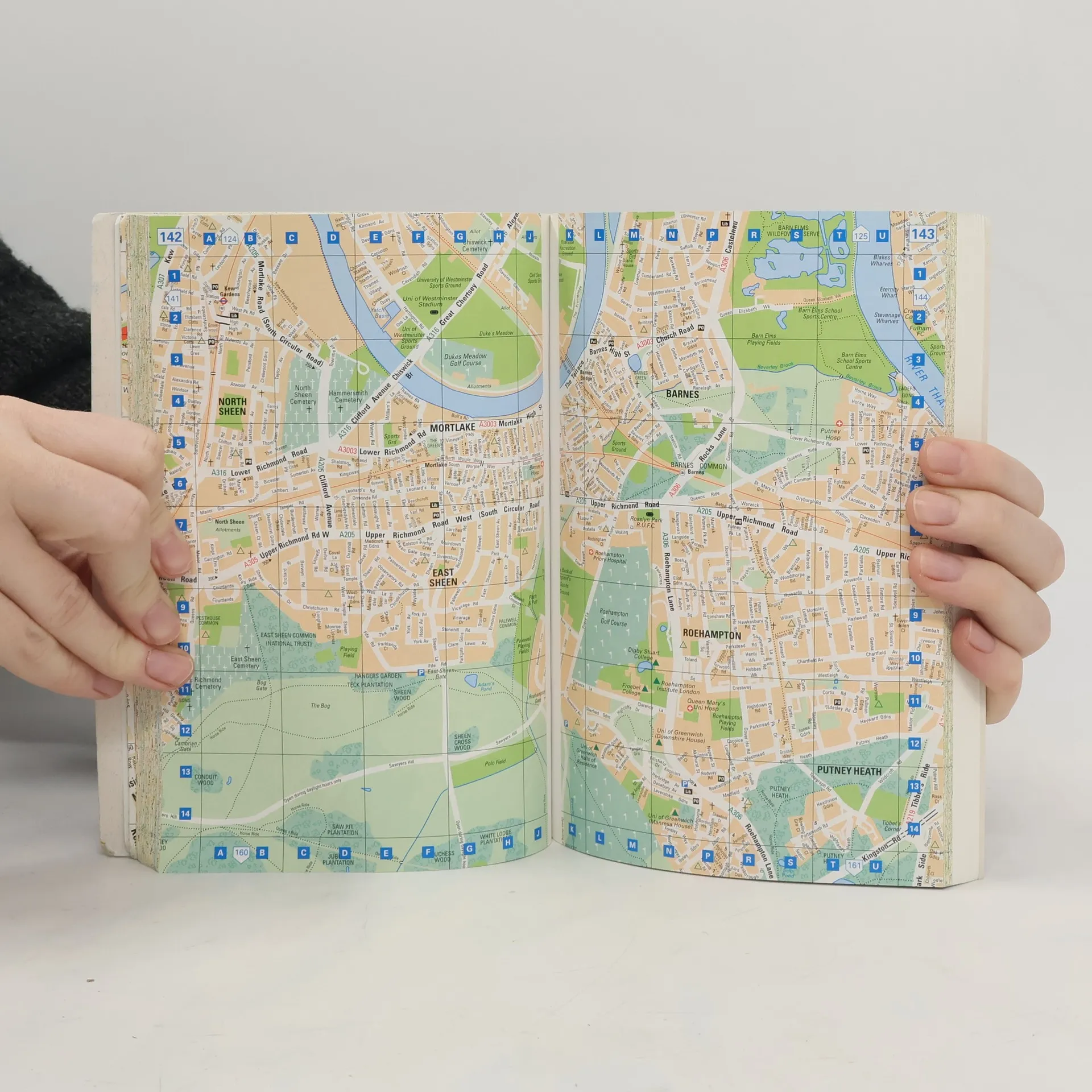
All the features which have made the Streetfinder such a lively and popular product are retained and improved: clear, full-colour, uncluttered mapping, bold street names on uncased roads, strong background colours for maximum contrast and the easy read grid referencing system. Streetfinder mapping, with its neat, unobtrusive symbols, displays a wealth of important details including car parks, one-way streets, hospitals, schools, police stations, places of worship, all important buildings, tourist features and much much more. INCLUDES - London Underground Map - Large scale central area mapping AREA OF COVERAGE Extends from Barnet in the north, to Carshalton in the south, and Northolt in the west to Belvedere in the east.
Compra de libros
London Streetfinder, Autores varios
- Idioma

- Publicado en
- 2001
- Encuadernación
- (Tapa blanda)
Métodos de pago
Nadie lo ha calificado todavía.
- Título
- London Streetfinder
- Idioma
- Inglés
- Autores
- Autores varios
- Editorial
- Collins
- Publicado en
- 2001
- Formato
- Tapa blanda
- Páginas
- 368
- ISBN10
- 0004490266
- ISBN13
- 9780004490267
- Serie
- Categorías
- Etiquetas
- Descripción
- All the features which have made the Streetfinder such a lively and popular product are retained and improved: clear, full-colour, uncluttered mapping, bold street names on uncased roads, strong background colours for maximum contrast and the easy read grid referencing system. Streetfinder mapping, with its neat, unobtrusive symbols, displays a wealth of important details including car parks, one-way streets, hospitals, schools, police stations, places of worship, all important buildings, tourist features and much much more. INCLUDES - London Underground Map - Large scale central area mapping AREA OF COVERAGE Extends from Barnet in the north, to Carshalton in the south, and Northolt in the west to Belvedere in the east.