
Más información sobre el libro
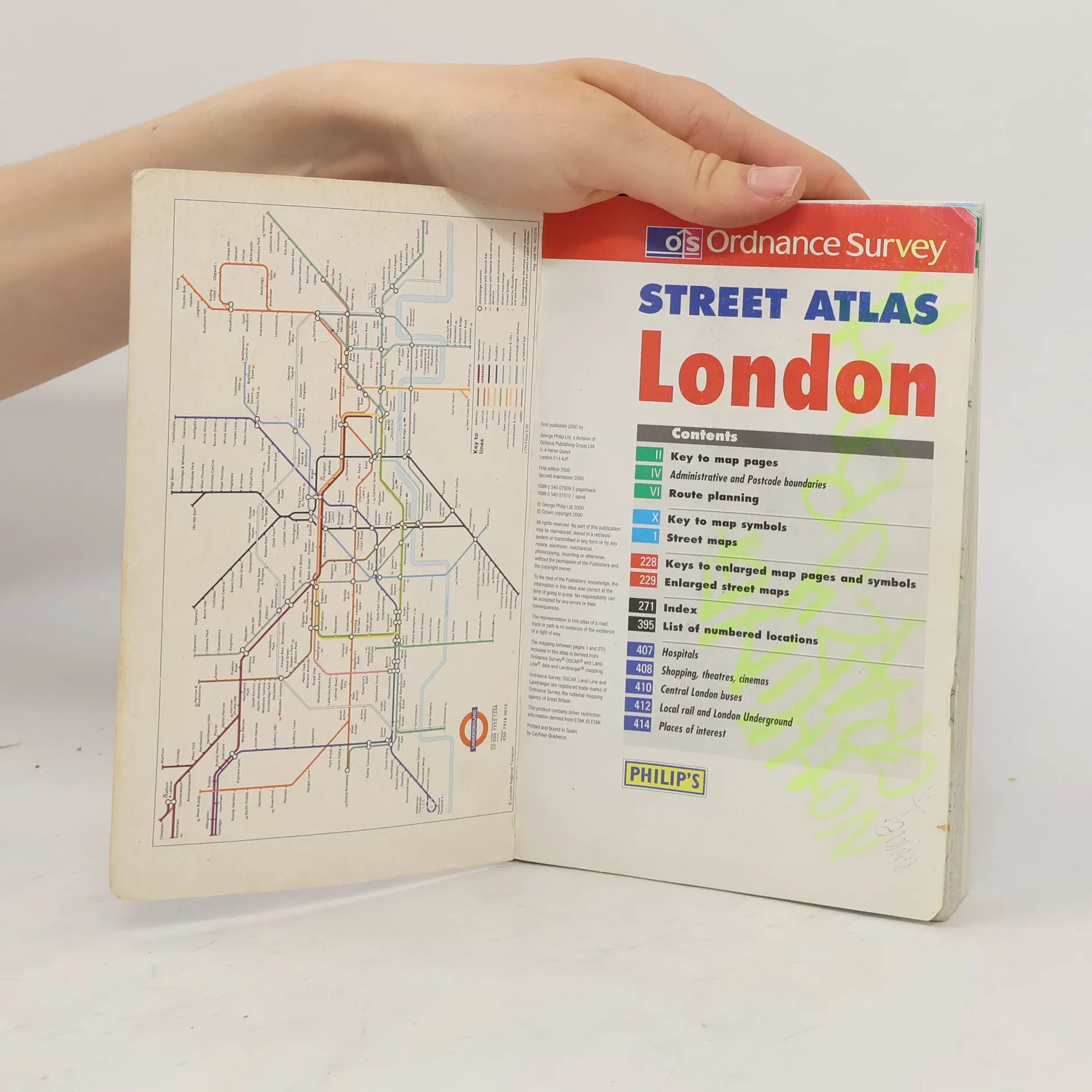
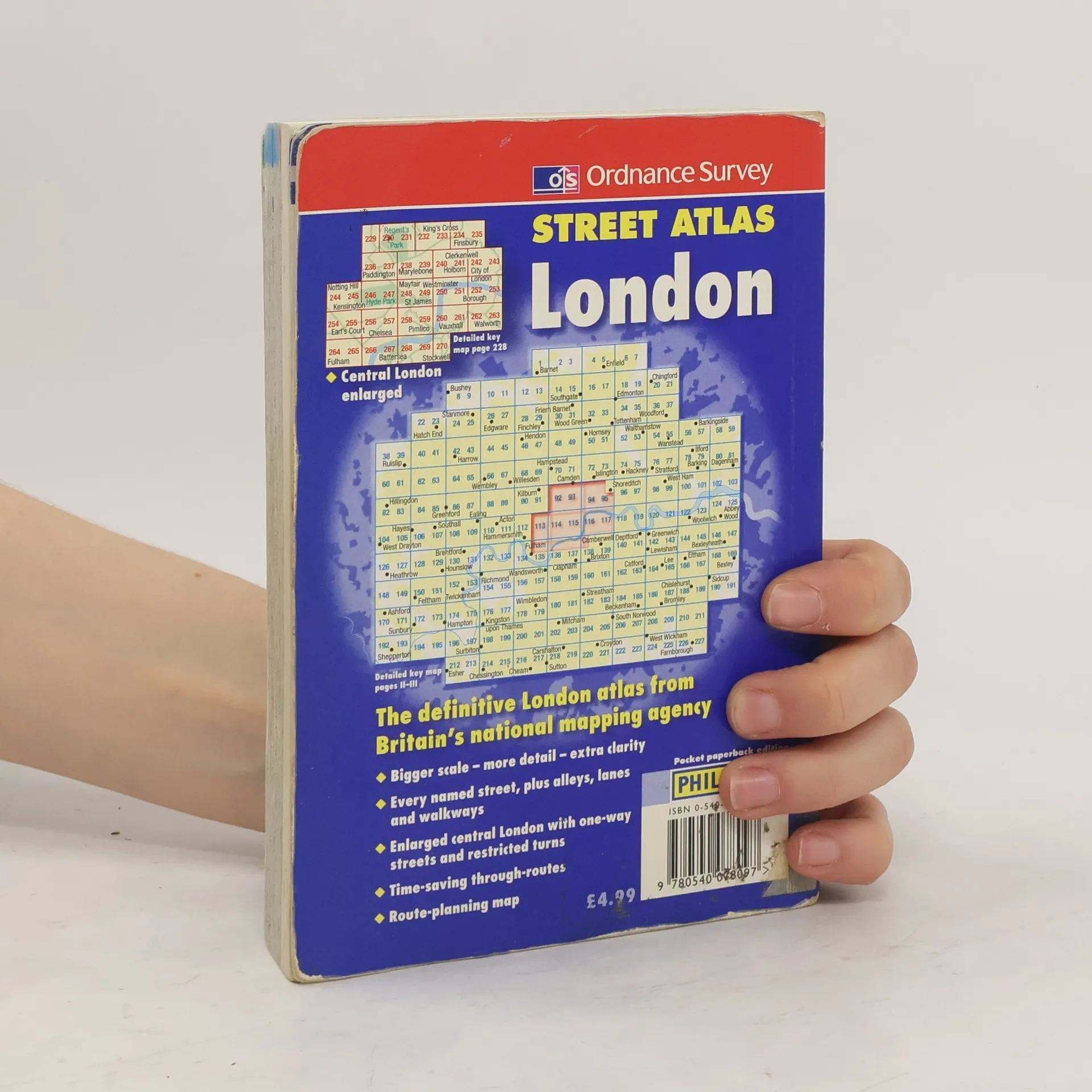
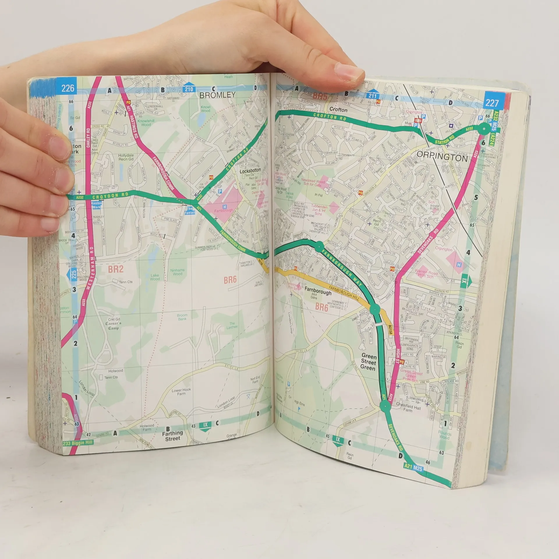
This atlas uses a scale of 3.5 inches:1 mile. It has a detailed index and shows through routes to help with journey planning. A planning map shows main roads in and out of London, and there are route indicators on major roads as they come to the edge of the mapping. Postcode districts and boundaries are shown on both the main mapping and on a separate map. The central area is enlarged (7 inches:1 mile), and shows one-way streets and restricted turns.
Compra de libros
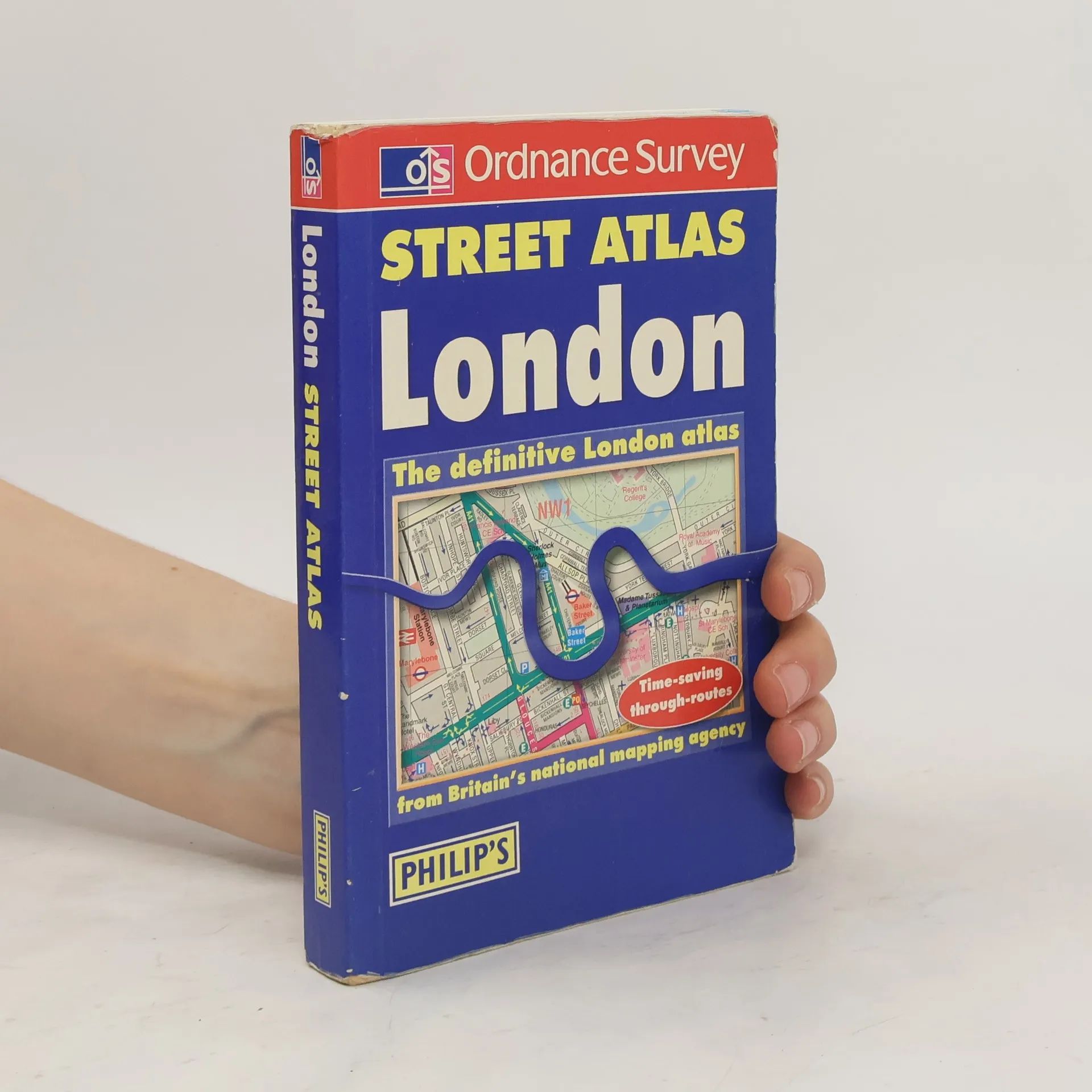
Street Atlas: London, Autores varios
- Dedicatorias / subrayados
- Idioma

- Publicado en
- 2000
Te avisaremos por correo electrónico en cuanto lo localicemos.
Métodos de pago
Nadie lo ha calificado todavía.