


Más información sobre el libro
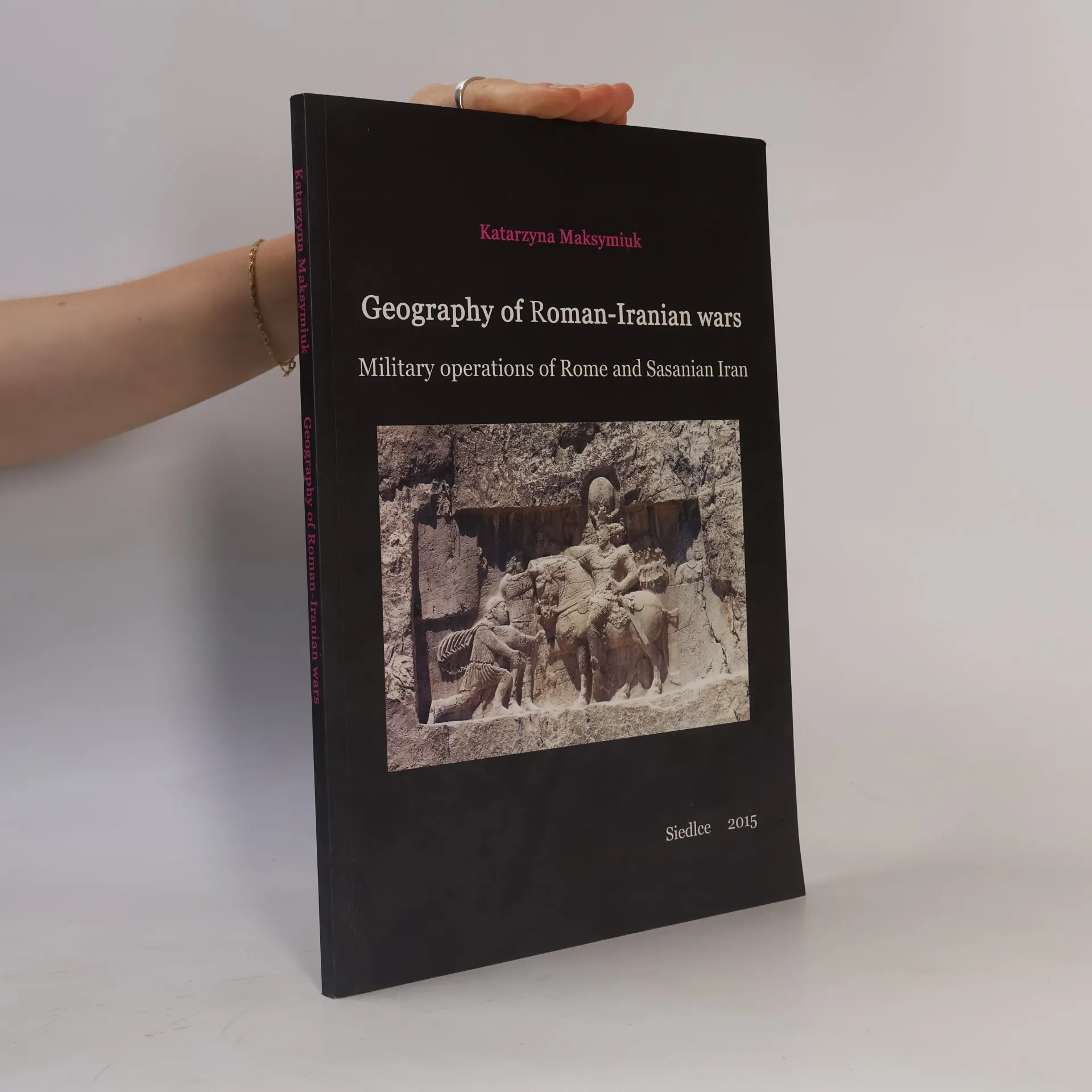
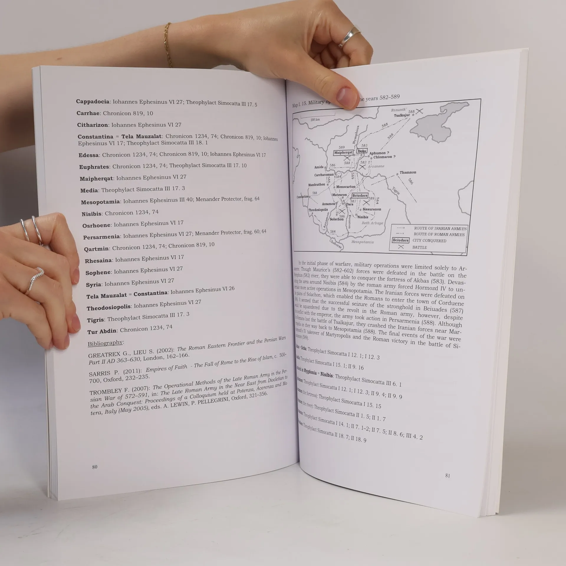
Until the second half of the second century AD, the Euphrates marked the border between Rome and Iran, with Mesopotamia considered part of the Parthian state. In 224 AD, the Sasanians took control of Iran, aiming to regain influence over Parthian territories. This shift was seen as a threat to Rome's position in the Near East, leading to a series of conflicts known as the Roman–Sasanian Wars. This work is an expanded English translation of a 2012 Polish publication, aimed at students and scholars of history. It offers a valuable collection of maps illustrating the topography of Roman-Iranian armed conflicts, based on ancient texts detailing wars between Rome and Sasanian Iran. The maps highlight only towns and provinces mentioned by ancient writers in relation to specific conflicts and focus solely on military operations involving Roman and Iranian forces. The maps are categorized into three groups: the first covers military conflicts, the second addresses territorial changes from peace treaties, and the third depicts shifts in the Roman-Iranian border over time, including territories of the Naṣrids and Jafnids and the Roman defense system known as Strata Diocletiana. Each map includes a brief description and references to the original source texts.
Compra de libros
Geography of Roman-Iranian Wars, Katarzyna Maksymiuk
- Idioma

- Publicado en
- 2015
- Encuadernación
- (Otras)
Métodos de pago
Nadie lo ha calificado todavía.
- Título
- Geography of Roman-Iranian Wars
- Subtítulo
- Military Operations of Rome and Sasanian Iran
- Idioma
- Inglés
- Autores
- Katarzyna Maksymiuk
- Editorial
- UPH Siedlce
- Publicado en
- 2015
- Formato
- Otras
- Páginas
- 143
- ISBN10
- 8362447133
- ISBN13
- 9788362447138
- Serie
- Etiquetas
- Guerras, Antigüedad, Imperio Romano
- Descripción
- Until the second half of the second century AD, the Euphrates marked the border between Rome and Iran, with Mesopotamia considered part of the Parthian state. In 224 AD, the Sasanians took control of Iran, aiming to regain influence over Parthian territories. This shift was seen as a threat to Rome's position in the Near East, leading to a series of conflicts known as the Roman–Sasanian Wars. This work is an expanded English translation of a 2012 Polish publication, aimed at students and scholars of history. It offers a valuable collection of maps illustrating the topography of Roman-Iranian armed conflicts, based on ancient texts detailing wars between Rome and Sasanian Iran. The maps highlight only towns and provinces mentioned by ancient writers in relation to specific conflicts and focus solely on military operations involving Roman and Iranian forces. The maps are categorized into three groups: the first covers military conflicts, the second addresses territorial changes from peace treaties, and the third depicts shifts in the Roman-Iranian border over time, including territories of the Naṣrids and Jafnids and the Roman defense system known as Strata Diocletiana. Each map includes a brief description and references to the original source texts.