

Este es el que agregas al carrito
Más información sobre el libro
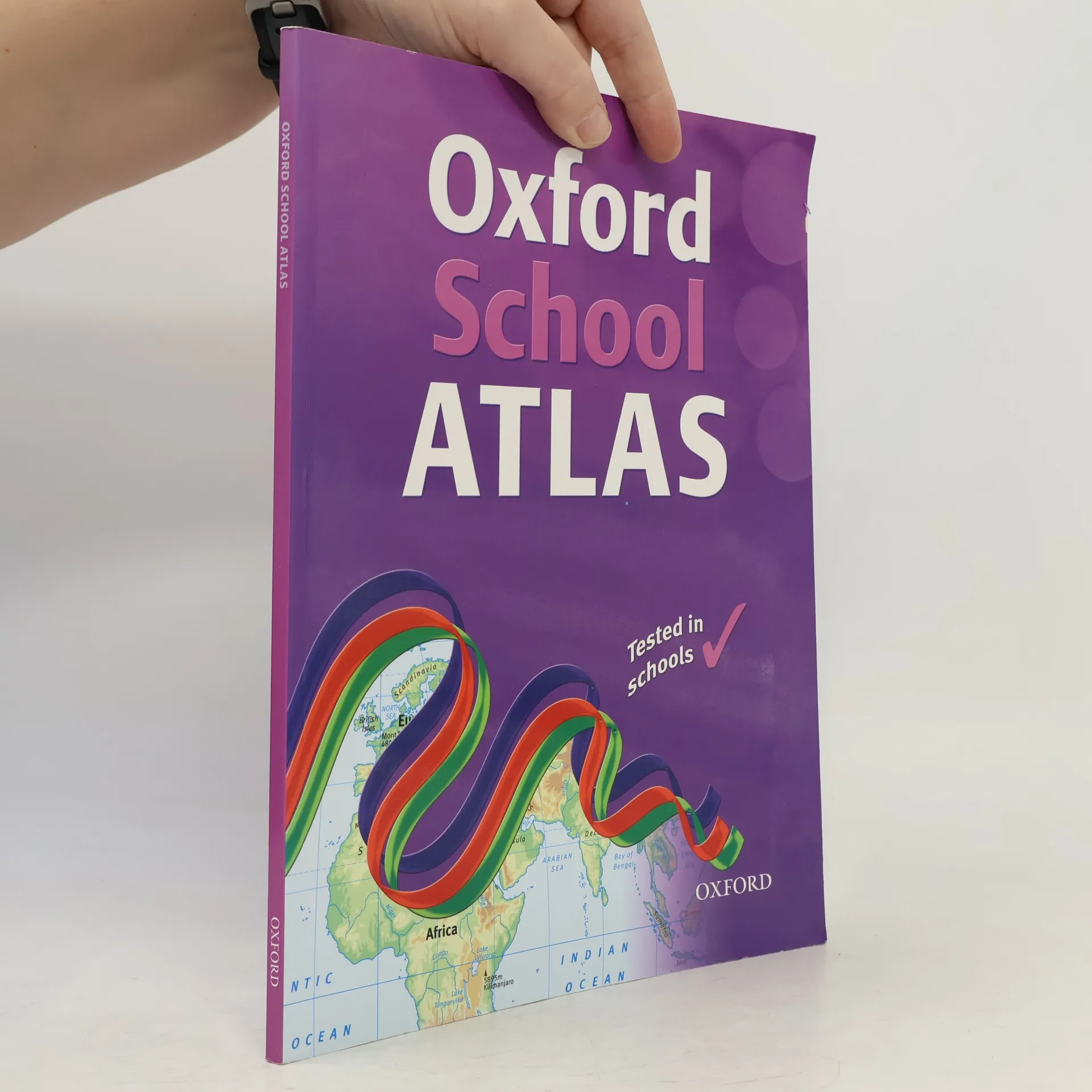
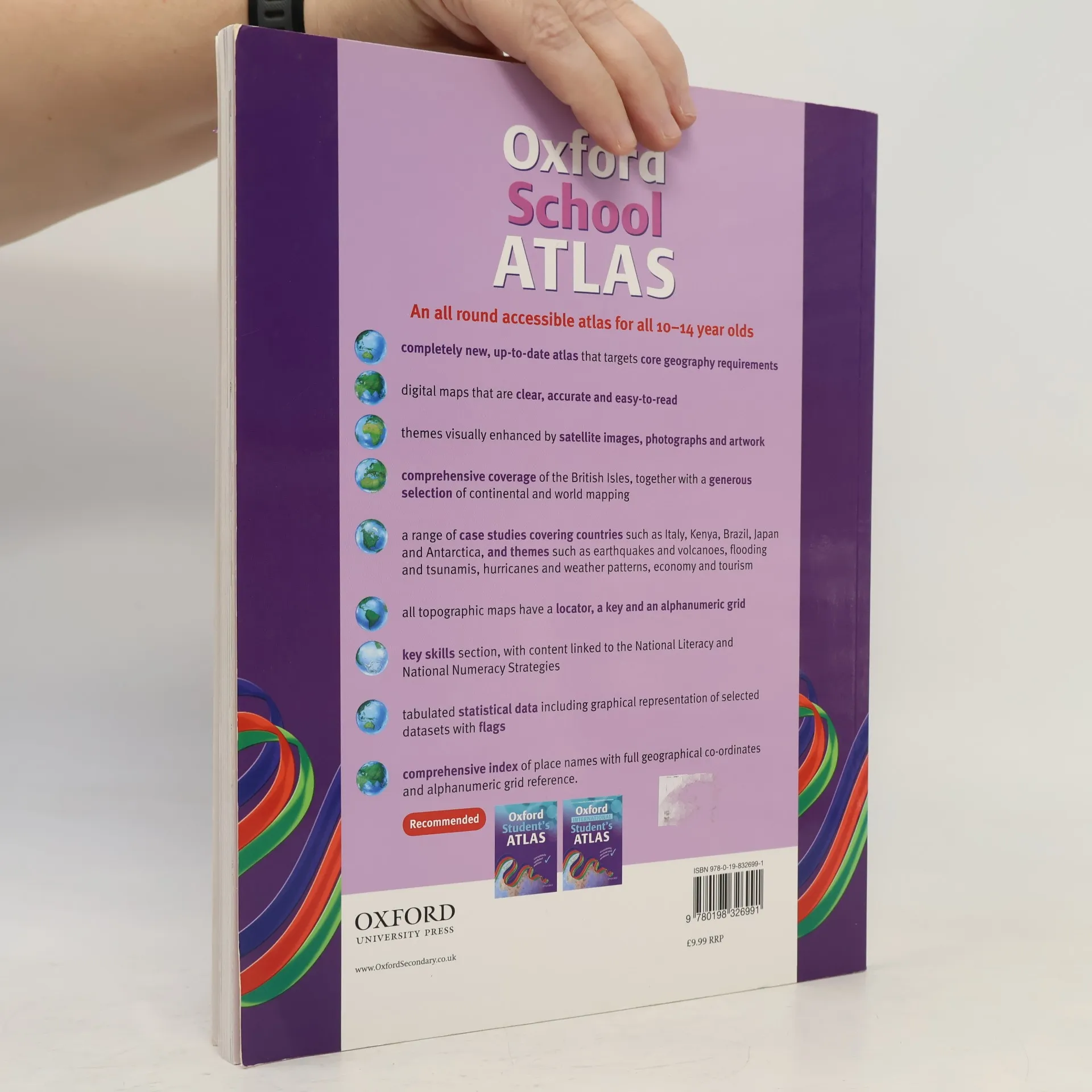
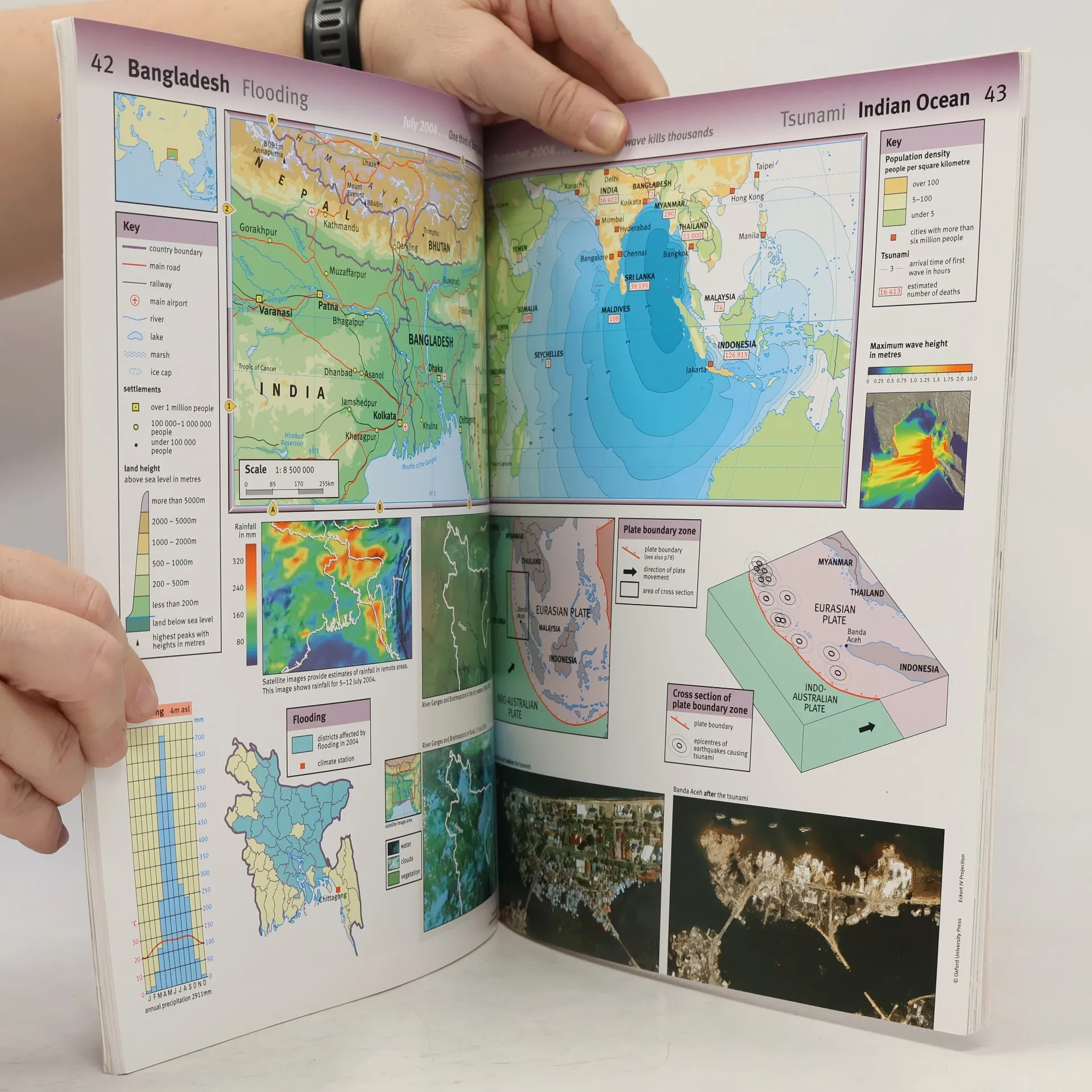
This is a revised and updated edition with digital maps that are accurate and easy-to-read. Satellite images, photographs and artwork are used to enhance the themes. The mapping is very clear, the level of detail accessible to all 10+ geographers and the topics specifically chosen to cover thekey curriculum requirements. Easy-to-use features include a multi-access contents page, clear explanations of graphics, country data files, 1 two-colour index of place names, and flags of the world at a usable size. There is comprehensive coverage of the British Isles, together with continental andworld mapping and a world statistical section.
Compra de libros
Oxford School Atlas, Dr Patrick Wiegand
- Idioma

- Publicado en
- 2008
- Encuadernación
- (Tapa blanda),
- Estado del libro
- Bueno
- Precio
- 7,29 €
Métodos de pago
Nadie lo ha calificado todavía.
- Título
- Oxford School Atlas
- Idioma
- Inglés
- Autores
- Dr Patrick Wiegand
- Editorial
- Oxford University Press
- Publicado en
- 2008
- Formato
- Tapa blanda
- Páginas
- 96
- ISBN10
- 0198326998
- ISBN13
- 9780198326991
- Serie
- Categorías
- Etiquetas
- Guías y Manuales, Atlas
- Descripción
- This is a revised and updated edition with digital maps that are accurate and easy-to-read. Satellite images, photographs and artwork are used to enhance the themes. The mapping is very clear, the level of detail accessible to all 10+ geographers and the topics specifically chosen to cover thekey curriculum requirements. Easy-to-use features include a multi-access contents page, clear explanations of graphics, country data files, 1 two-colour index of place names, and flags of the world at a usable size. There is comprehensive coverage of the British Isles, together with continental andworld mapping and a world statistical section.