Highly illustrated, full colour book showcasing what is unique about the North Coast 500. Striking images and descriptive text of the best places to visit are shown along with a simple route map showing locations.
Collins Maps Libros


Collins Primary Atlas
- 68 páginas
- 3 horas de lectura
The must-have atlas for children aged 7-11 Collins Primary Atlas is a great introduction to mapping of the UK, Europe and all major regions of the world. It supports the Key Stage 2 curriculum and is suitable for children aged 7-11 years.
Discover Scotland's ancient monuments and castles. Explore Scotland’s ancient monuments with this pictorial map featuring over 700 castles and fortified houses. Includes an easy-to-use index listing visitor information and an attractive selection of photographs.
Lake District Park Rangers Favourite Walks
- 128 páginas
- 5 horas de lectura
The perfect companions for exploring the National Parks. Walking guide to the Lake District National Park, with 20 best routes chosen by the park rangers. Each walk varies in length from 2 to 10 km and can be completed in less than 4 hours.
Explore new places with handy pocket maps from Collins. Large full colour map of the whole of Ireland showing the road network in detail, and with a special emphasis on places of tourist interest.
London Pocket Atlas
- 144 páginas
- 6 horas de lectura
This fully updated atlas features clear Collins street mapping of Central London and the surrounding area. Coverage is from Chiswick in the west to Barking in the east, and Hampstead in the north to Dulwich in the south. Scale is 1:20,000 (3.17 inches to 1 mile). Coverage of Central London is at 1:12,500 (5.1 inches to 1 mile).
Greater London Street Atlas
- 484 páginas
- 17 horas de lectura
The ultimate Collins street atlas of London, featuring incredibly detailed street level maps, with more than 40 categories of information, covering 1660 square miles in and around London and with more than 95,000 street names. Includes airport plans, London Underground Map, congestion charges and low emission zone information.
Collins Children's Picture Atlas
- 48 páginas
- 2 horas de lectura
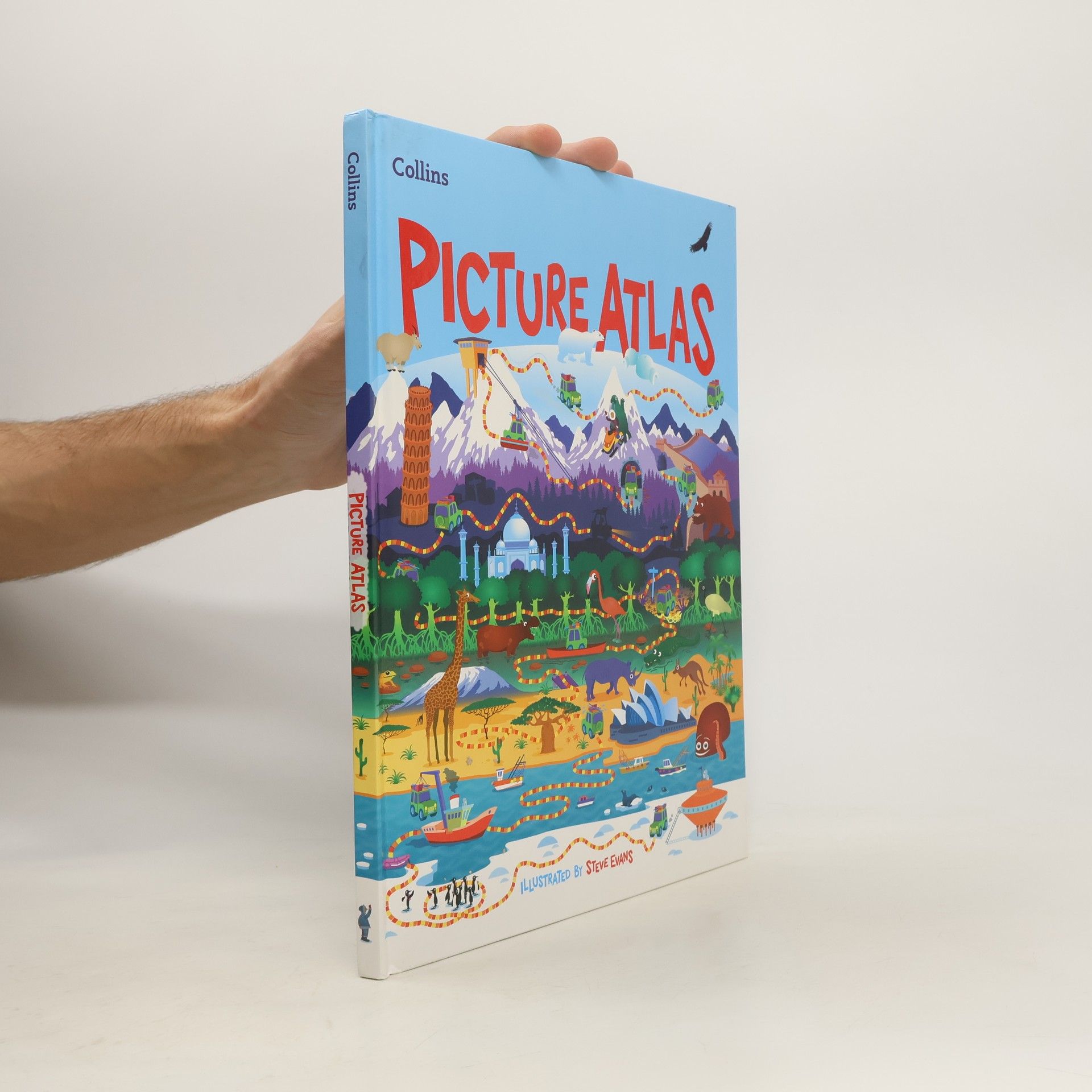
A beautifully illustrated picture atlas designed to take children on an exciting journey around the world.
Comprehensive Road Atlas Ireland
- 160 páginas
- 6 horas de lectura
Clear, detailed road atlas of Ireland in a handy A4 spiral-bound format.
Discover new places with handy road atlases from Collins. Your ideal companion for navigating around Scotland. It has extremely clear, route planning maps of Scotland, detailed city plans of the major cities and towns and fits neatly into your glovebox, briefcase or bag.
