Stylish and incisive, INGUIDES are the perfect travel companion. ■ Evocative images showcase key sights, presenting an inspiring visual overview. ■ Lively text reveals the hidden surprises as well as the main attractions of each destination, and sheds light on its people, art, culture and quirks. ■ Fresh ideas on where to sleep, eat and shop, including a host of useful websites, help travellers make the best choices during their stay. ■ Annotated walking tours guide visitors through the most interesting areas, linking the main sights and taking in outstanding architecture, cool museums, atmospheric squares and gardens along the way. ■ Independent exploring is made easy through clear and detailed maps. A separate city plan shows all the highlights from the guide. ■ Stylish embossed leather-effect cover ■ Elastic band closure ■ Bookmark ■ Expandable storage pocket in inside cover
Calina Kunth Libros
InGuide Venice
- 256 páginas
- 9 horas de lectura
Stylish and incisive, INGUIDES are the perfect travel companion. ■ Evocative images showcase key sights, presenting an inspiring visual overview. ■ Lively text reveals the hidden surprises as well as the main attractions of each destination, and sheds light on its people, art, culture and quirks. ■ Fresh ideas on where to sleep, eat and shop, including a host of useful websites, help travellers make the best choices during their stay. ■ Annotated walking tours guide visitors through the most interesting areas, linking the main sights and taking in outstanding architecture, cool museums, atmospheric squares and gardens along the way. ■ Independent exploring is made easy through clear and detailed maps. A separate city plan shows all the highlights from the guide. ■ Stylish embossed leather-effect cover ■ Elastic band closure ■ Bookmark ■ Expandable storage pocket in inside cover
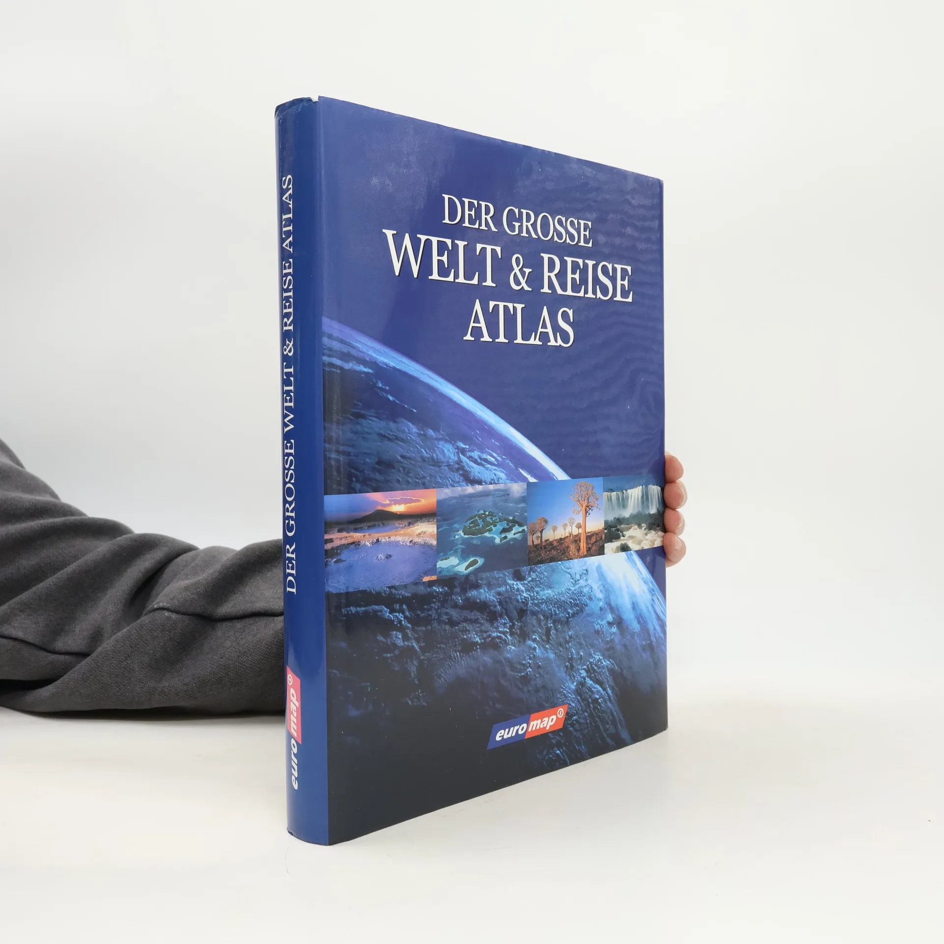
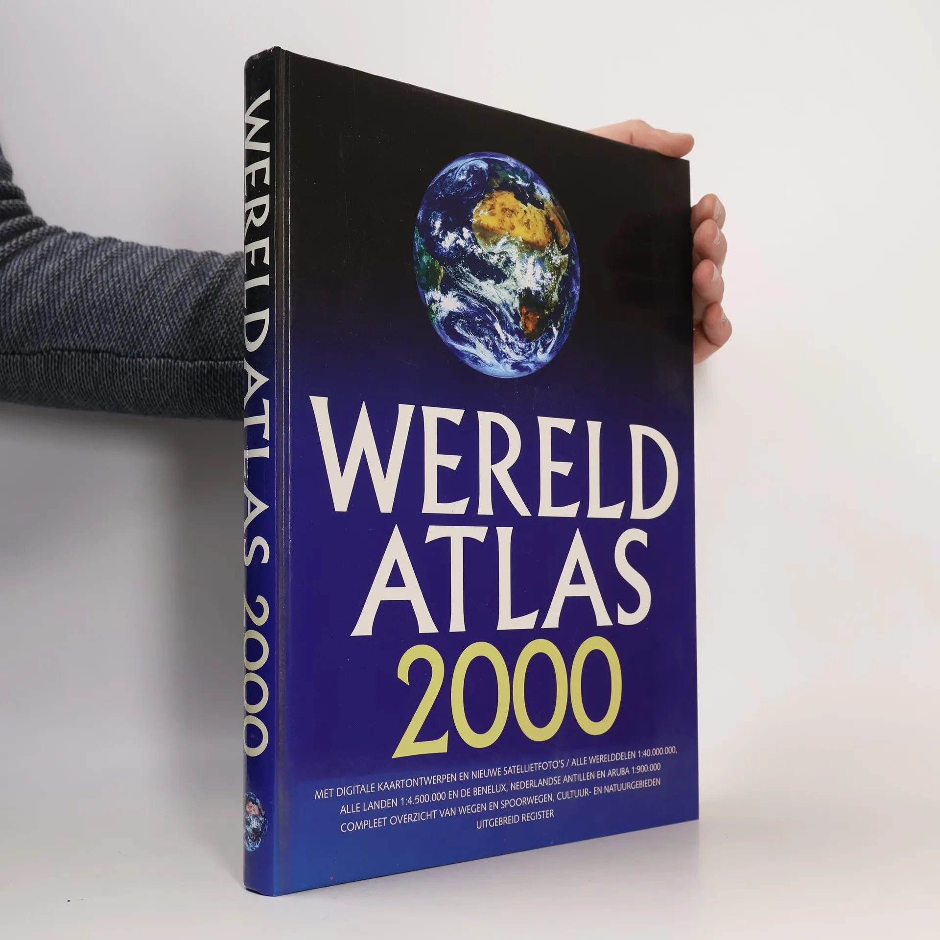
Wereld atlas 2000
- 367 páginas
- 13 horas de lectura
Deze opzienbarende wereldatlas is visueel en informatief een grensverleggend naslagwerk, dat u het allernieuwste biedt op het gebied van cartografie en inhoud. De modernste inzichten in grafische vormgeving, geografische informatie en praktische bruikbaarheid hebben geleid tot het ontwikkelen van deze volledig unieke atlas.• Revolutionaire computer-cartografie• Digitale kaartontwerpen• Satellietfoto's van alle werelddelen• Realistische kleurstelling op basis van de ecologische zones op aarde• Aandacht voor cultuur- en natuurgebieden• Weergave van alle belangrijkste wegen- en spoorwegnetwerken• Alle werelddelen afgebeeld op schaal 1:40.000.000• Alle landen afgebeeld op schaal 1:4.500.000• Nederland, België, Luxemburg, Nederlandse Antillen en Aruba afgebeeld op schaal 1:900.000• Met uitgebreid register• 29 pagina's satellietfoto's
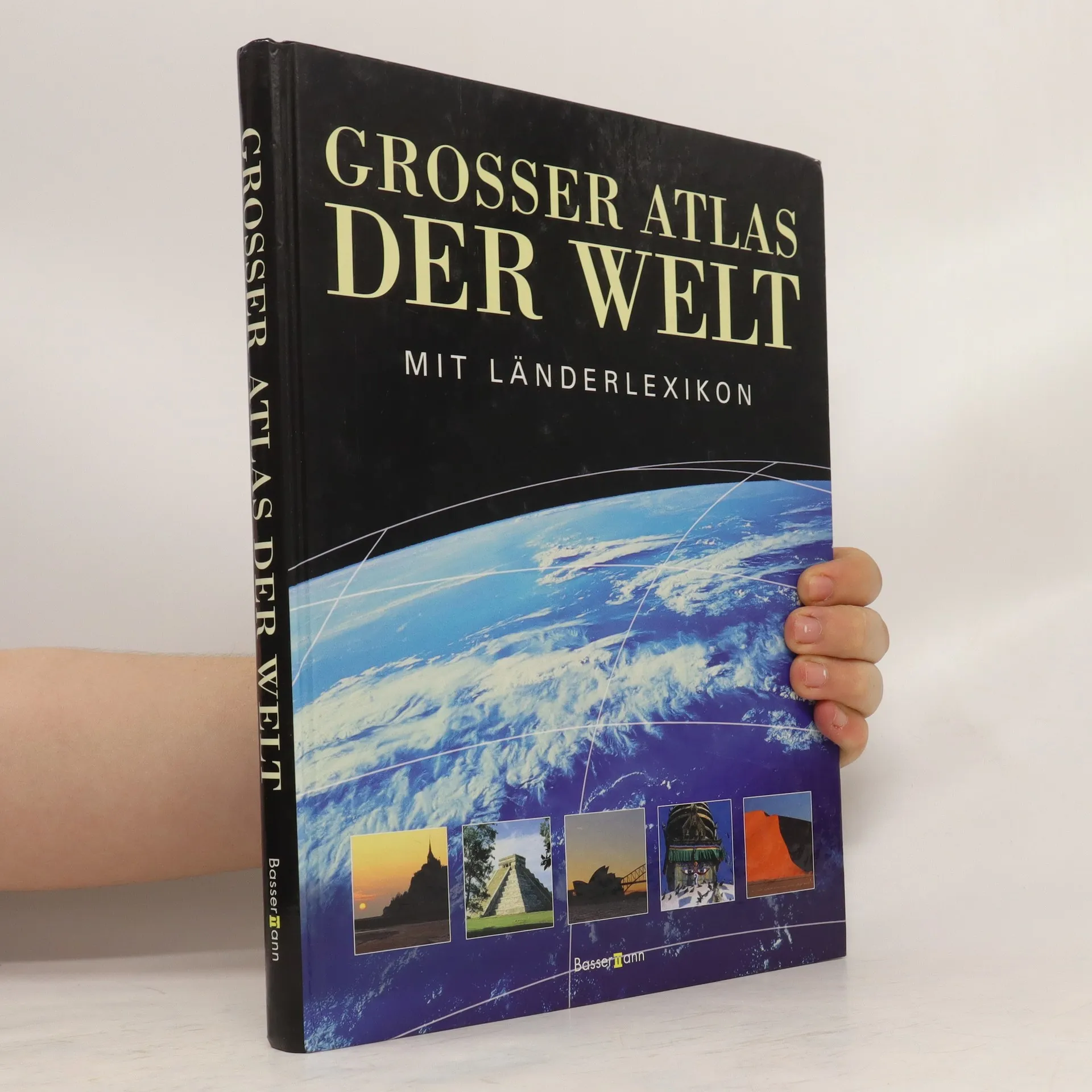
Neuer grosser Atlas der Welt
- 346 páginas
- 13 horas de lectura
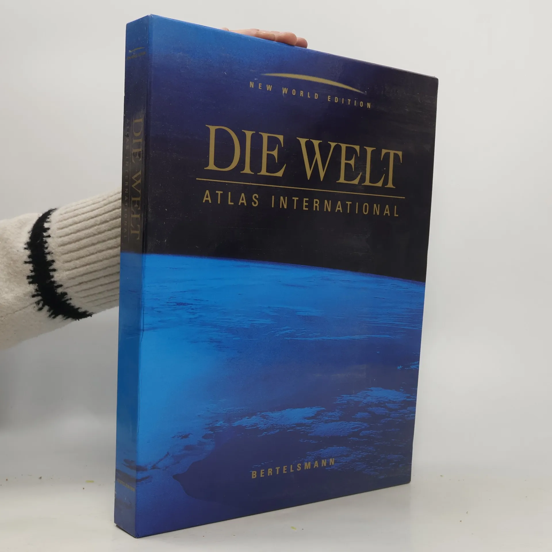
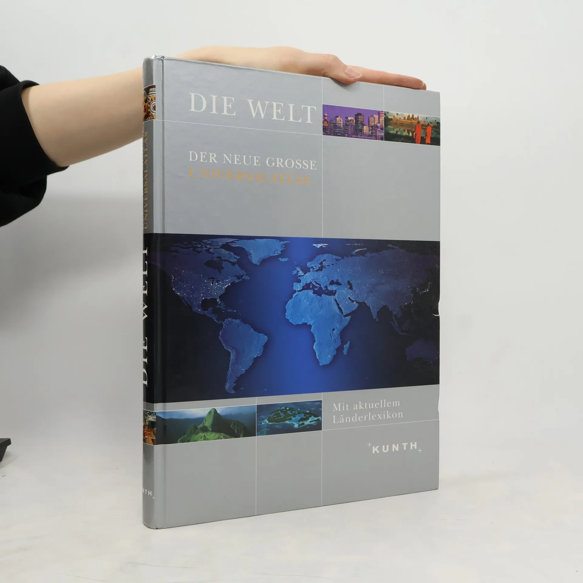
Die Welt
- 375 páginas
- 14 horas de lectura
Umfassendes geografisches und touristisches Wissen kombiniert mit modernster Computerkartografie bildet die Grundlage dieses neu produzierten Weltkartenwerks. Es verfolgt zwei programmatische Zielsetzungen: Zum einen vermittelt es klassisches geografisches Basiswissen durch detaillierte Kartografie. Zum anderen bietet es eine einzigartige Darstellung herausragender Naturlandschaften, Kulturmonumente, Urlaubsziele und Reiserouten. Der Atlas informiert über die geografisch-physischen Gegebenheiten unseres Planeten sowie über wichtige Verkehrswege wie Hauptschienennetze, See- und Flughäfen und Fährlinien. Neu ist die Kennzeichnung weltweit herausragender Naturlandschaften, interessanter Metropolen und bedeutender Monumente. Ein eigens entwickeltes Piktogramm-System mit über 200 Symbolen weist den Weg zu Gebirgen, Seen, Flüssen, Wüsten, Vulkanen, Nationalparks und Naturreservaten, sowie zu historischen Städten und Weltkulturen. Zudem zeigt der Atlas große Urlaubsziele, Mineral- und Thermalbäder, Segelhäfen, Surf- und Tauchreviere sowie Freizeitmetropolen. Auch Traumstraßen wie die Panamericana und berühmte Eisenbahnstrecken wie die Transsibirische Eisenbahn werden hervorgehoben.
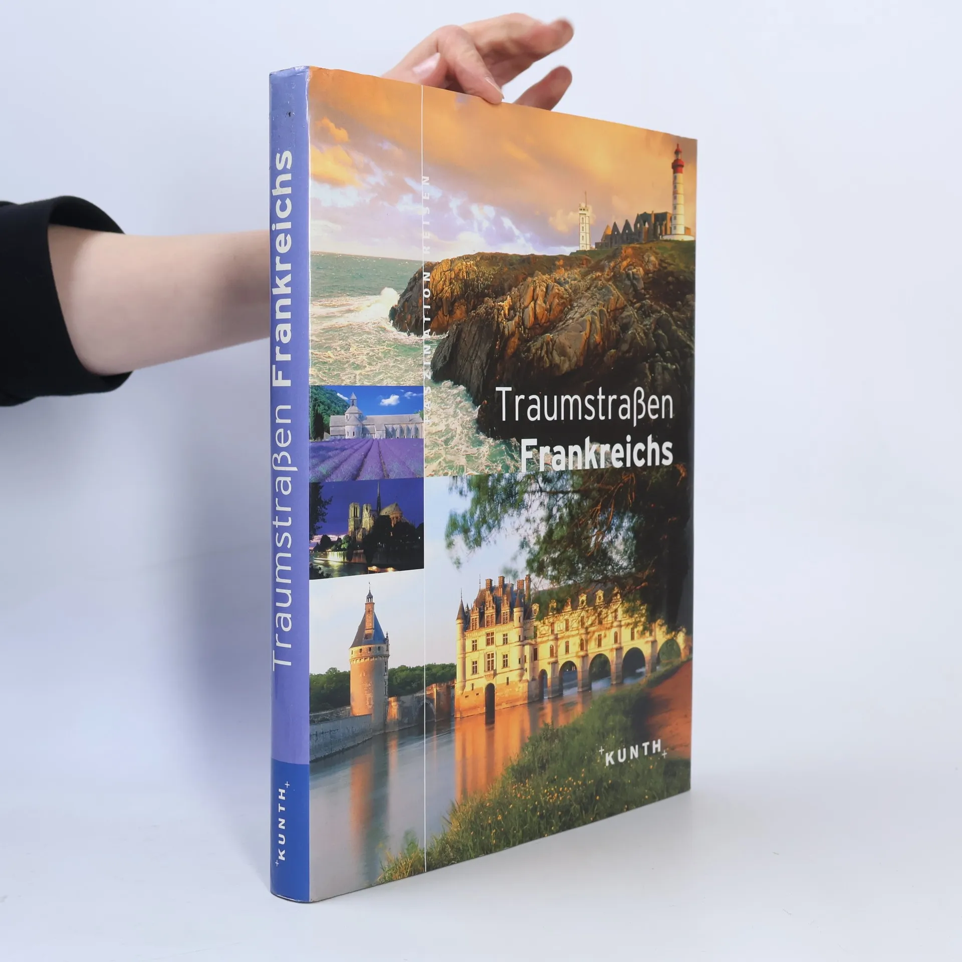
Traumstraßen Frankreichs
- 256 páginas
- 9 horas de lectura
Junge Bildbandreihe mit den schönsten Routen des jeweiligen Landes. Mit bis zu 500 großformatigen Fotos, Tourenkarten und Stadtplänen.