
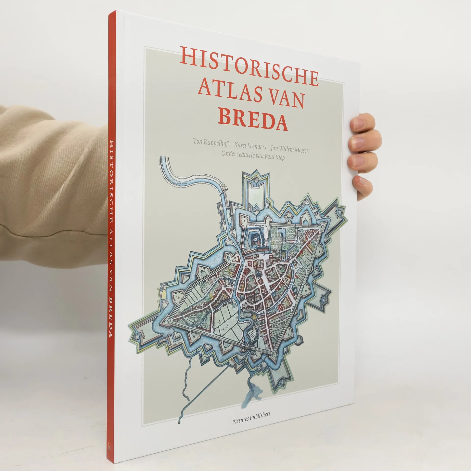
"De atlas toont de historie van Breda en omgeving van het stenentijdperk tot heden. Uniek is de compacte informatie over de landschappelijke, archeologische, sociale, economische, religieuze en ruimtelijke aspecten. Dankzij tientallen oude en nieuwe kaarten en treffende afbeeldingen is een bijzonder en zeer toegankelijk geschiedenisboek ontstaan." - Website uitgever.
Karel Leenders Orden de los libros (cronológico)
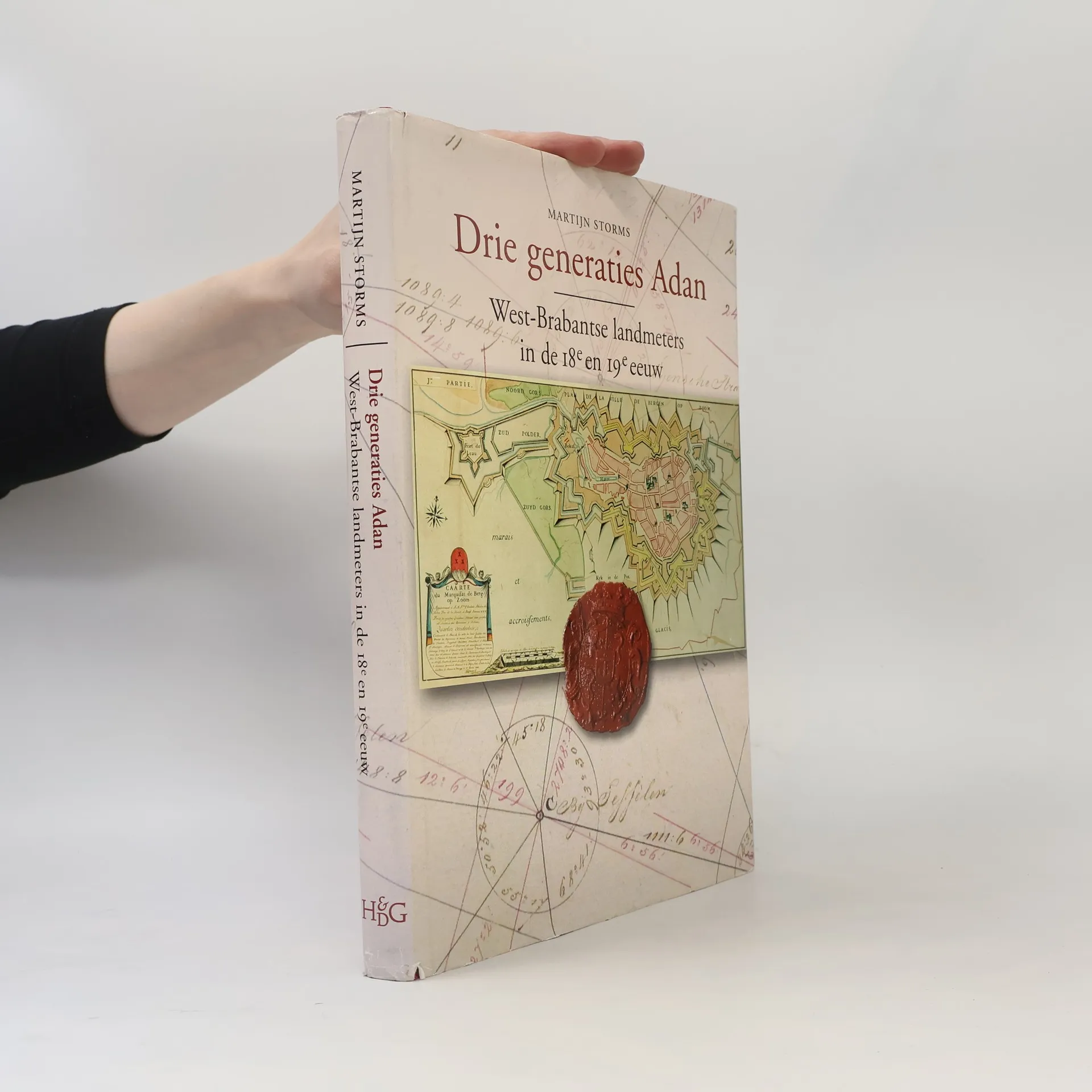
Drie generaties Adan
West-Brabantse landmeters in de achttiende en negentiende eeuw
- 284 páginas
- 10 horas de lectura
In the eighteenth and early nineteenth century three following generations of the Adan geometrician family where active in the western part of the province of Noord-Brabant, the Netherlands. The cartographic production of these three generations of geometricians gives a good impression of the development of Dutch cartography in the eighteenth and nineteenth century. This work is a scientific accountable reference book and a standard work about the cartographic heritance of the Adan family. It contains contributions about the local landscape, the history of the region, geometricians, the family history and the Adans in historic cartographic perspective. It also includes an annotated bibliography with descriptions and illustrations of nearly 1100 maps which the Adan geometricians have manufactured. The book contains many full-page maps in colour.