
Agotado

Parámetros
- 128 páginas
- 5 horas de lectura
Más información sobre el libro
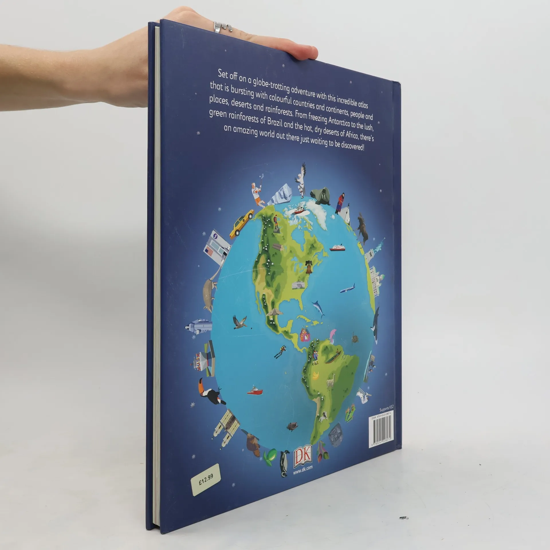
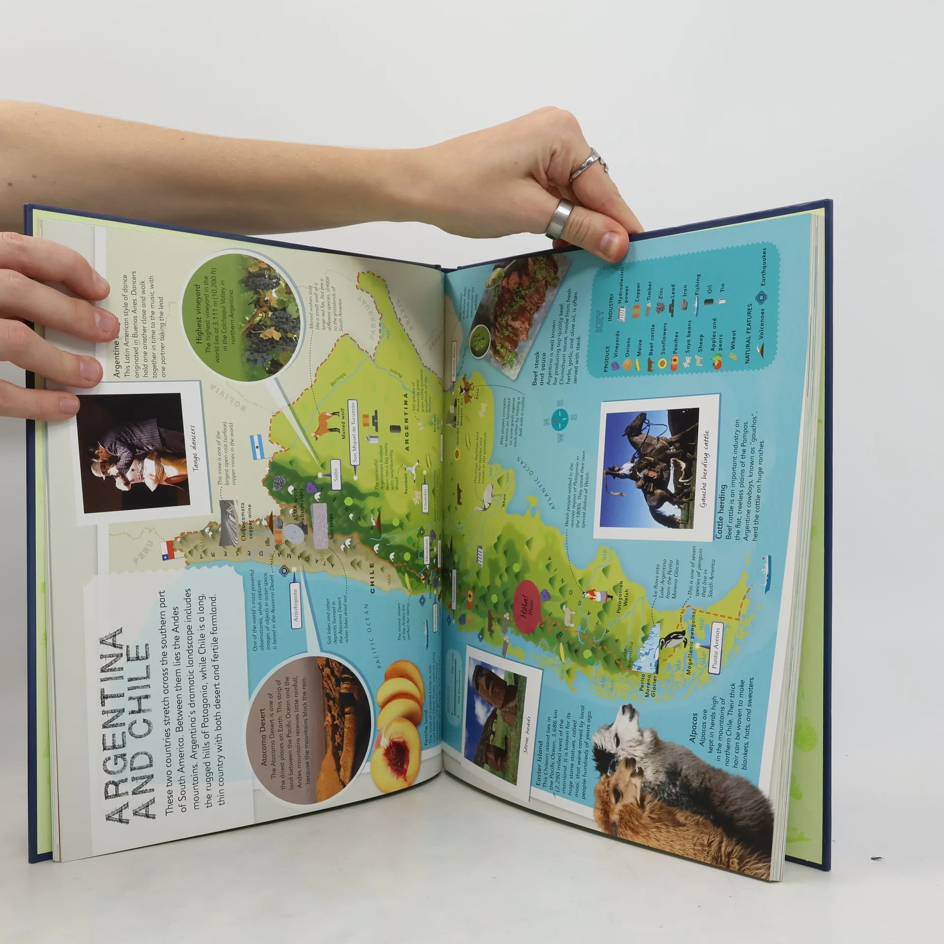
DK's Children's Illustrated Atlas brings geography to life; packed with more than 50 colourful maps for kids and fascinating facts about the countries of the world. Each map is bursting with information, such as climates, populations, famous sites, mountains and rivers, and natural wonders of the world. The atlas also includes a world map, with a political map for each continent. Through each map children are shown how to read a map and use a key, compass and scale. Charming and informative, the Children's Illustrated Atlas is a key addition to every child's library

Compra de libros
Children's Illustrated Atlas, Autores varios
- Idioma

- Publicado en
- 2016
- product-detail.submit-box.info.binding
- (Tapa dura)
Te avisaremos por correo electrónico en cuanto lo localicemos.
Métodos de pago
Nos falta tu reseña aquí
- Título
- Children's Illustrated Atlas
- Idioma
- Inglés
- Autores
- Autores varios
- Publicado en
- 2016
- Formato
- Tapa dura
- Páginas
- 128
- ISBN10
- 0241228077
- ISBN13
- 9780241228074
- Serie
- Calificación
- 4,75 de 5
- Descripción
- DK's Children's Illustrated Atlas brings geography to life; packed with more than 50 colourful maps for kids and fascinating facts about the countries of the world. Each map is bursting with information, such as climates, populations, famous sites, mountains and rivers, and natural wonders of the world. The atlas also includes a world map, with a political map for each continent. Through each map children are shown how to read a map and use a key, compass and scale. Charming and informative, the Children's Illustrated Atlas is a key addition to every child's library