
Este es el que agregas al carrito

Parámetros
Más información sobre el libro
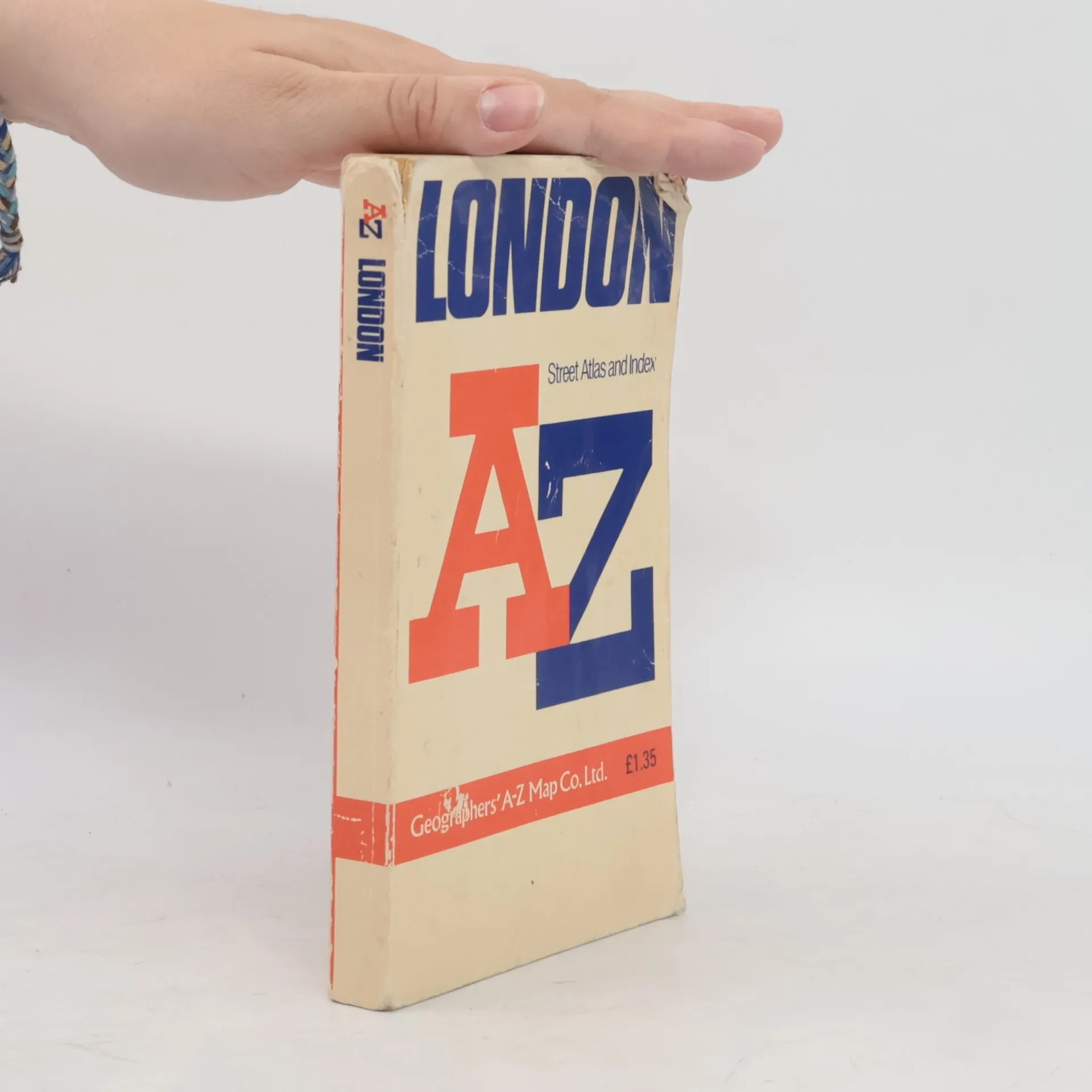
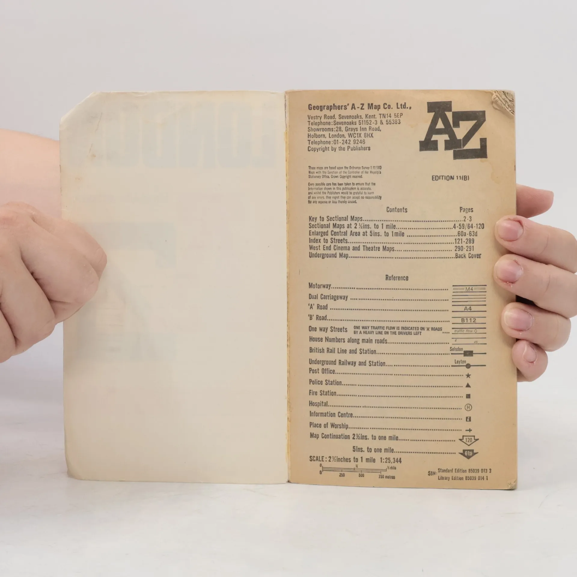
Contains street maps at scale 3" to 1 mile, 11 pages of 4.5" to 1 mile maps covering the congested central area, an Underground map and West End cinema and theatre maps. Coverage extends to Stanmore, Barnet, Enfield, Woodford, Dagenham, Woolwich, Bromley, Croydon, Surbiton, Southall and Harrow.


Compra de libros
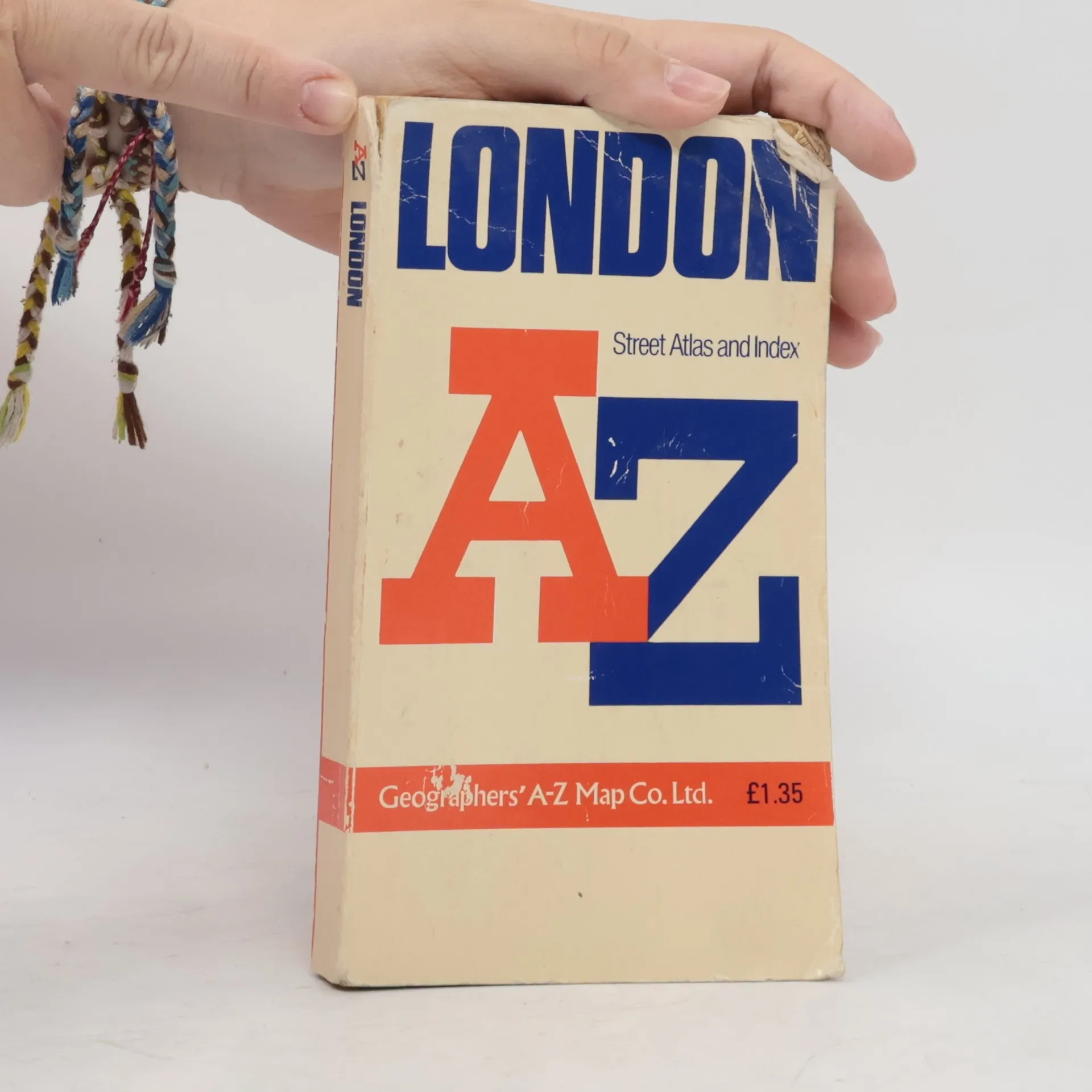
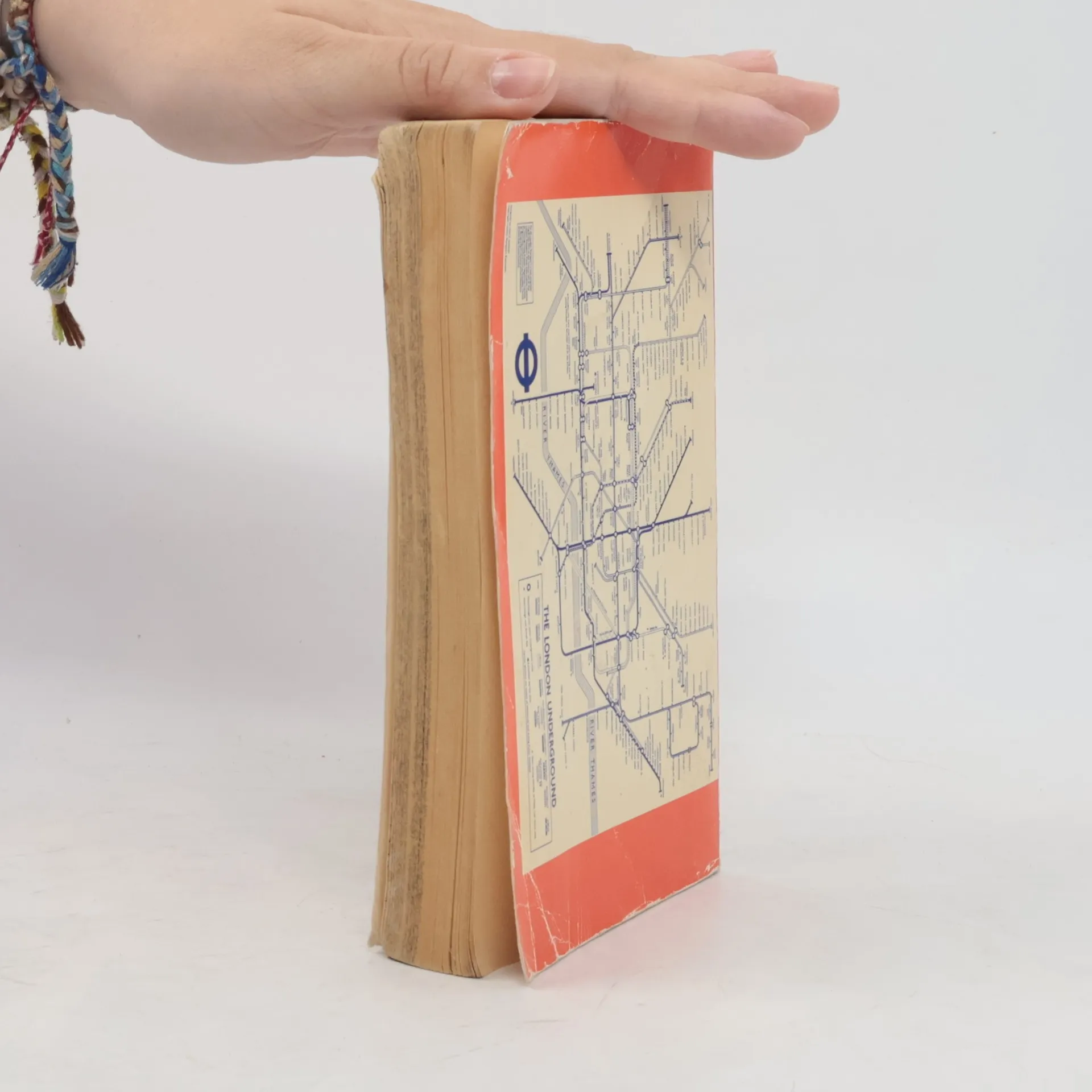
AZ London Street Atlas, Autores varios
- Idioma

- Publicado en
- 1990
- product-detail.submit-box.info.binding
- (Tapa blanda),
- Estado del libro
- Dañado
- Precio
- 1,53 €
Métodos de pago
Nos falta tu reseña aquí
- Título
- AZ London Street Atlas
- Subtítulo
- Street Atlas Index
- Idioma
- Inglés
- Autores
- Autores varios
- Editorial
- Geographers' A-Z Map Company
- Publicado en
- 1990
- Formato
- Tapa blanda
- ISBN10
- 0850390133
- ISBN13
- 9780850390131
- Serie
- Etiquetas
- No ficción, Mapas y viajes, Viajes
- Calificación
- 4,45 de 5
- Descripción
- Contains street maps at scale 3" to 1 mile, 11 pages of 4.5" to 1 mile maps covering the congested central area, an Underground map and West End cinema and theatre maps. Coverage extends to Stanmore, Barnet, Enfield, Woodford, Dagenham, Woolwich, Bromley, Croydon, Surbiton, Southall and Harrow.