
Agotado
Más información sobre el libro
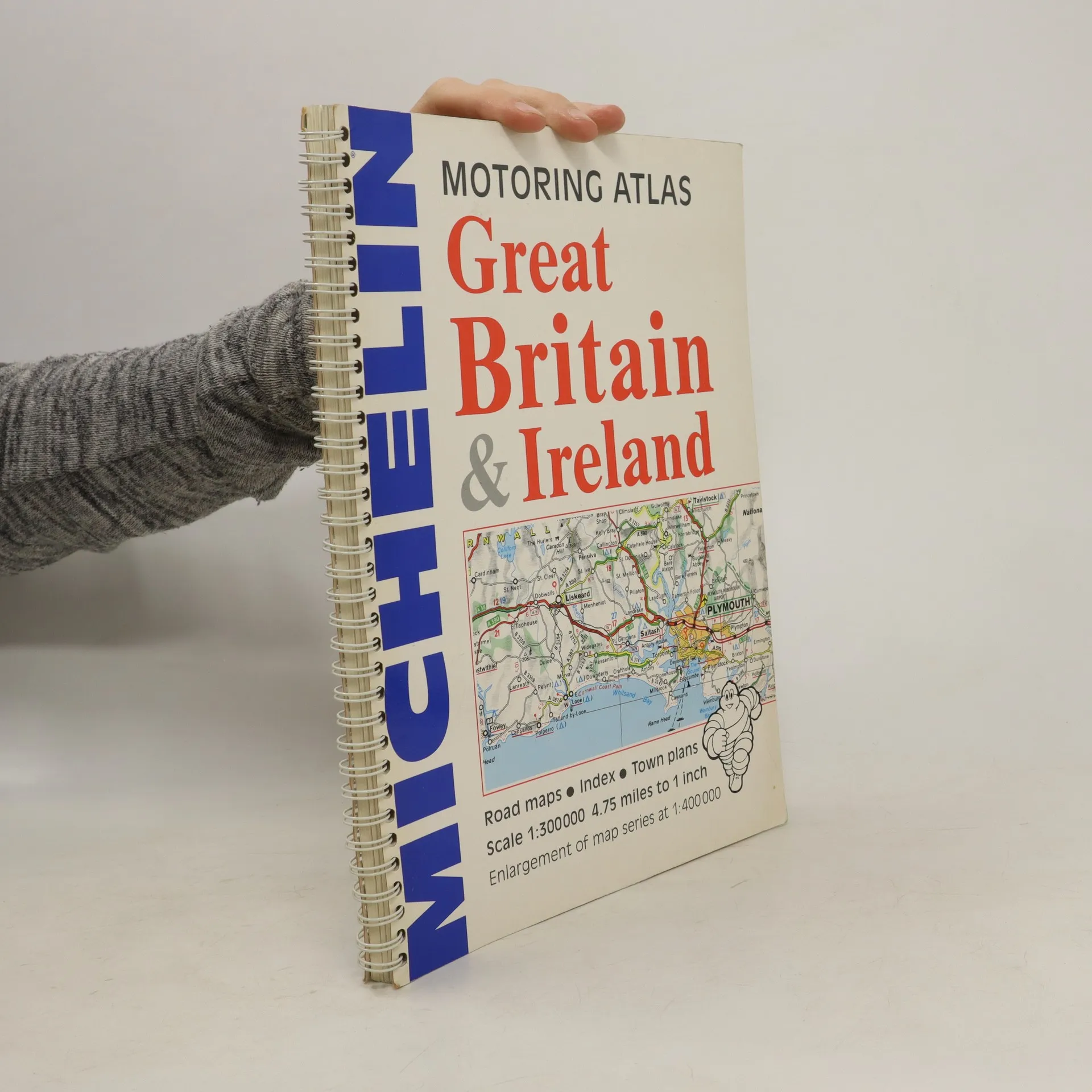
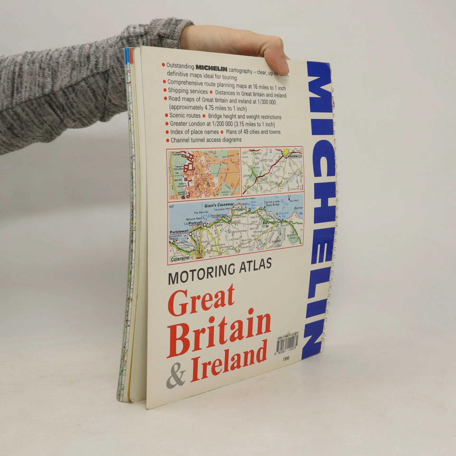
A motoring atlas of Great Britain and Ireland, with cartography at a scale of 1:300,000. Scenic routes are indicated, and other features include shipping services, distances, bridge height and weight restrictions, 49 city and town plans, and Channel Tunnel access diagrams.
Compra de libros
Motoring Atlas Great Britain & Ireland, Autores varios
- Idioma

- Publicado en
- 1996
- product-detail.submit-box.info.binding
- (Espiral)
Te avisaremos por correo electrónico en cuanto lo localicemos.
Métodos de pago
Nos falta tu reseña aquí
- Título
- Motoring Atlas Great Britain & Ireland
- Idioma
- Inglés
- Autores
- Autores varios
- Editorial
- Michelin Travel Publications
- Publicado en
- 1996
- Formato
- Espiral
- Páginas
- 147
- ISBN10
- 2061122078
- ISBN13
- 9782061122075
- Serie
- Etiquetas
- No ficción, Mapas y viajes
- Calificación
- 3 de 5
- Descripción
- A motoring atlas of Great Britain and Ireland, with cartography at a scale of 1:300,000. Scenic routes are indicated, and other features include shipping services, distances, bridge height and weight restrictions, 49 city and town plans, and Channel Tunnel access diagrams.