
Agotado
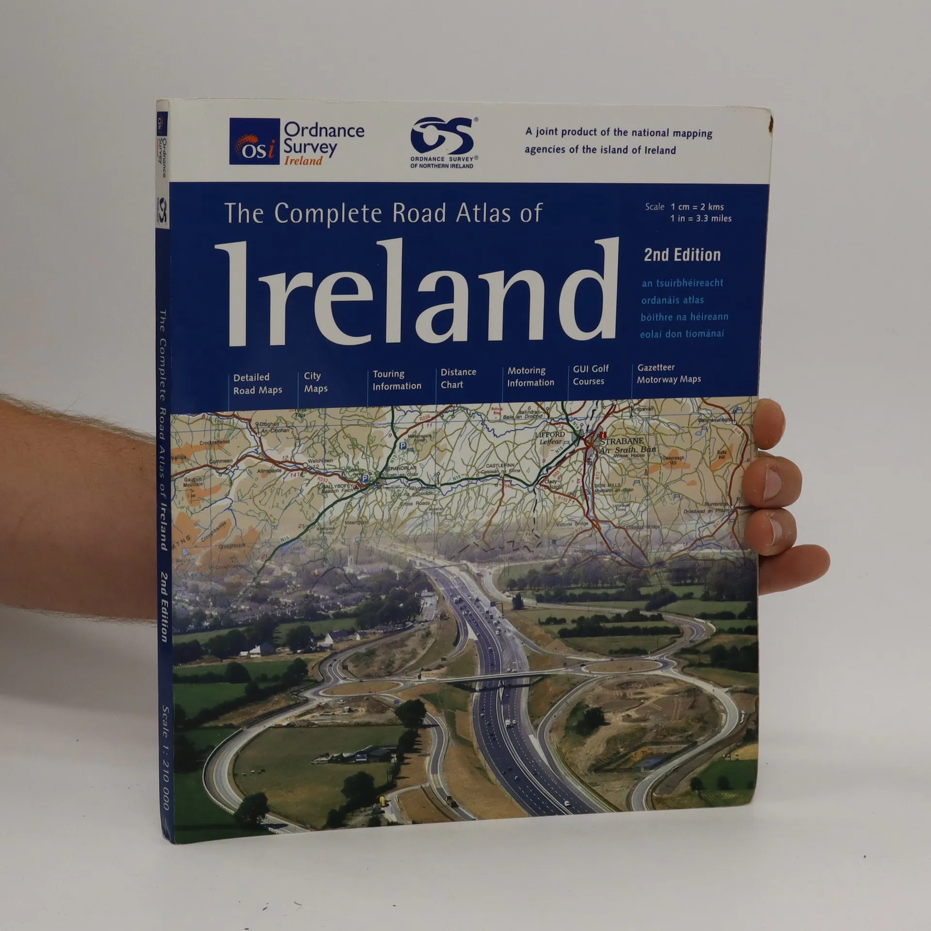
The complete road atlas of Ireland = an tsuirbhéireacht ordanáis atlas bóithre na hÉireann eolai don tiománaí.
Autores
- Autores varios
Valoración del libro
Más información sobre el libro
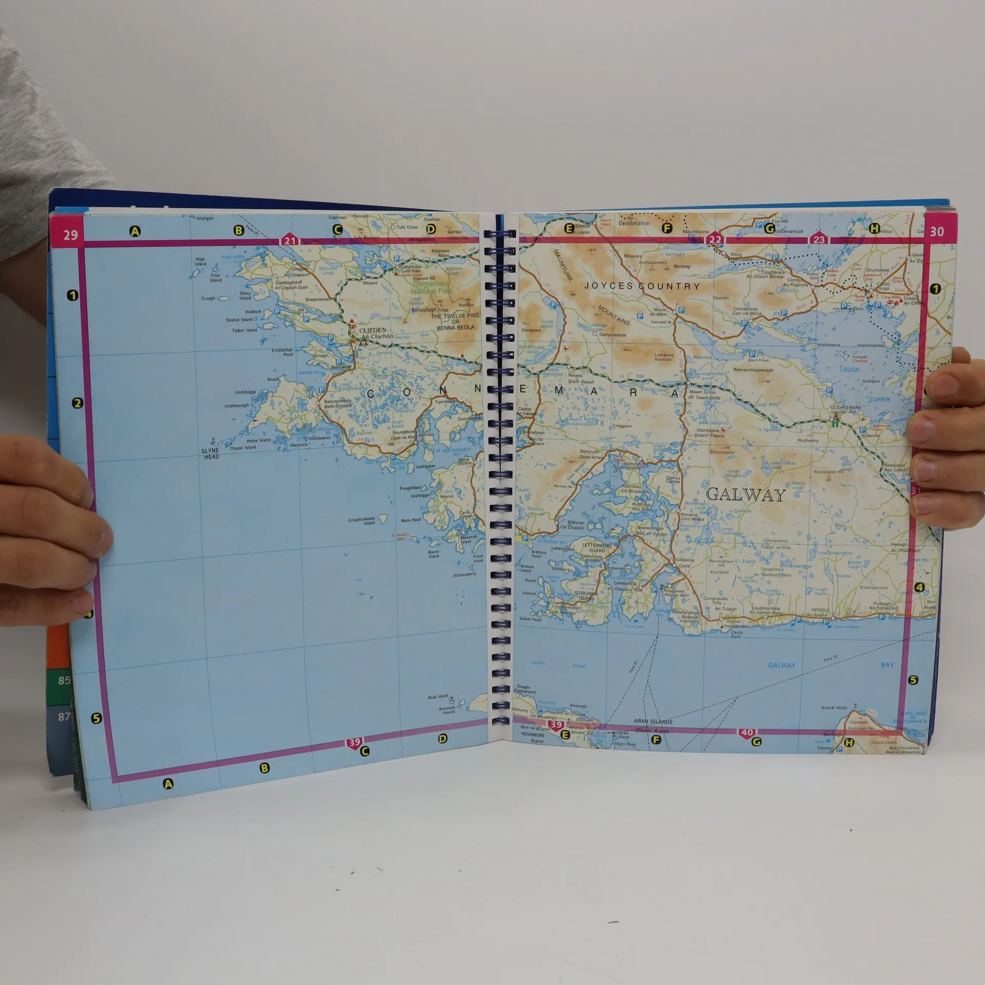
Spiral-bound atlas of Ireland that features detailed road maps at 1:210,000 scale (1 inch = 3.3 miles). Also includes city maps, touring and motoring information, distance chart, golf courses, and placename index. Cities maps of Dublin, Belfast, Cork, Londonderry, Armagh, Galway, Kilkenny, Limerick, Lisburn, Newry, and Waterford. Legend in Gaelic, English, French and German.
Compra de libros
The complete road atlas of Ireland = an tsuirbhéireacht ordanáis atlas bóithre na hÉireann eolai don tiománaí., Autores varios
- Idioma

- Publicado en
- 2007
- product-detail.submit-box.info.binding
- (Espiral)
Te avisaremos por correo electrónico en cuanto lo localicemos.
Métodos de pago
Nos falta tu reseña aquí
- Título
- The complete road atlas of Ireland = an tsuirbhéireacht ordanáis atlas bóithre na hÉireann eolai don tiománaí.
- Idioma
- Inglés
- Autores
- Autores varios
- Editorial
- Ordnance Survey of Ireland
- Publicado en
- 2007
- Formato
- Espiral
- Páginas
- 107
- ISBN10
- 190551140x
- ISBN13
- 9781905511402
- Serie
- Etiquetas
- No ficción, Mapas y viajes, Mapas & Atlas
- Calificación
- 4,5 de 5
- Descripción
- Spiral-bound atlas of Ireland that features detailed road maps at 1:210,000 scale (1 inch = 3.3 miles). Also includes city maps, touring and motoring information, distance chart, golf courses, and placename index. Cities maps of Dublin, Belfast, Cork, Londonderry, Armagh, Galway, Kilkenny, Limerick, Lisburn, Newry, and Waterford. Legend in Gaelic, English, French and German.