

¡Agotado, pero muy deseado!

Más información sobre el libro
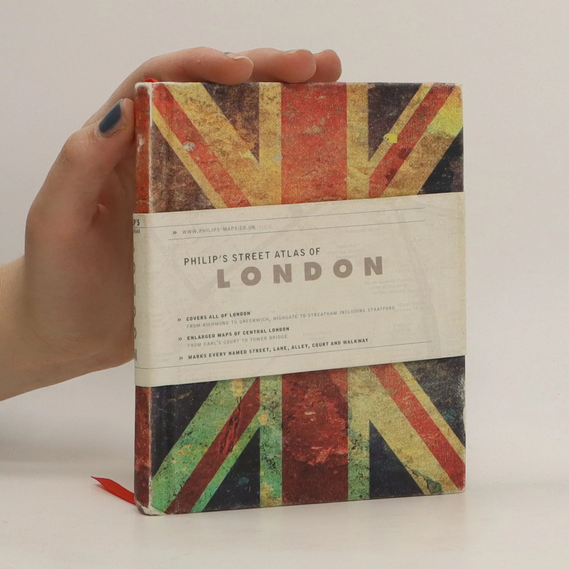
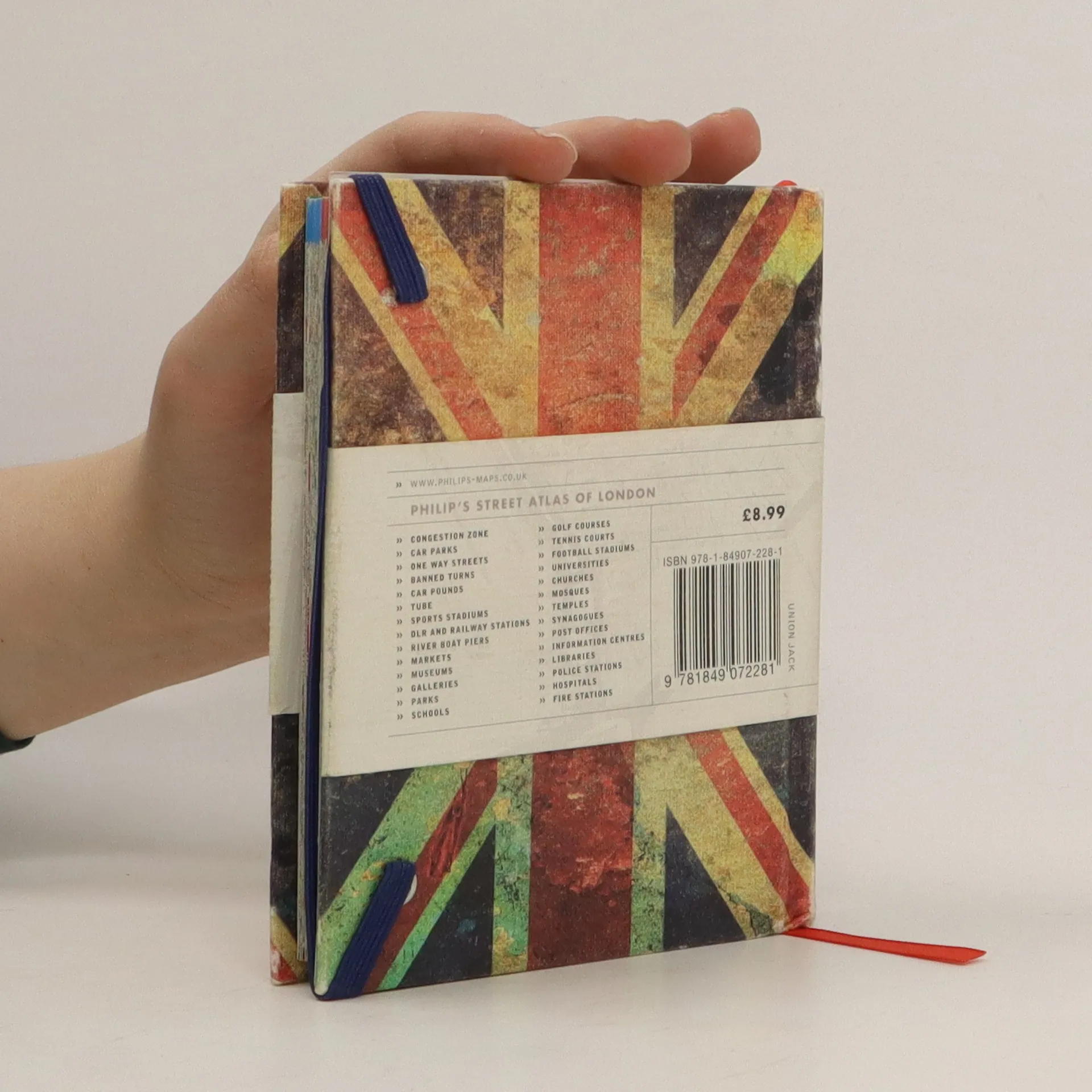
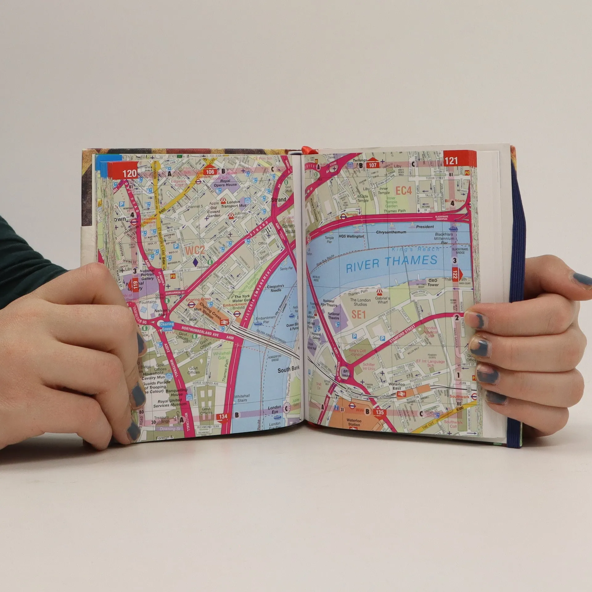
This is a fully revised edition of the definitive London Atlas. Every street is named, the Congestion Charging Zone is highlighted, bus, tube and rail maps are featured, an index is given of hospitals and places of interest, postcodes are given, and theatres, cinemas and shopping are shown on a separate map.


Compra de libros
Philip's street atlas of London, Autores varios
- Idioma

- Publicado en
- 2012
- Encuadernación
- (Tapa dura)
Te avisaremos por correo electrónico en cuanto lo localicemos.
Métodos de pago
Nadie lo ha calificado todavía.
- Idioma
- Inglés
- Autores
- Autores varios
- Editorial
- Philip's
- Publicado en
- 2012
- Formato
- Tapa dura
- Páginas
- 320
- ISBN10
- 1849072280
- ISBN13
- 9781849072281
- Serie
- Etiquetas
- No ficción, Mapas y viajes, Mapas & Atlas
- Descripción
- This is a fully revised edition of the definitive London Atlas. Every street is named, the Congestion Charging Zone is highlighted, bus, tube and rail maps are featured, an index is given of hospitals and places of interest, postcodes are given, and theatres, cinemas and shopping are shown on a separate map.