
Más información sobre el libro
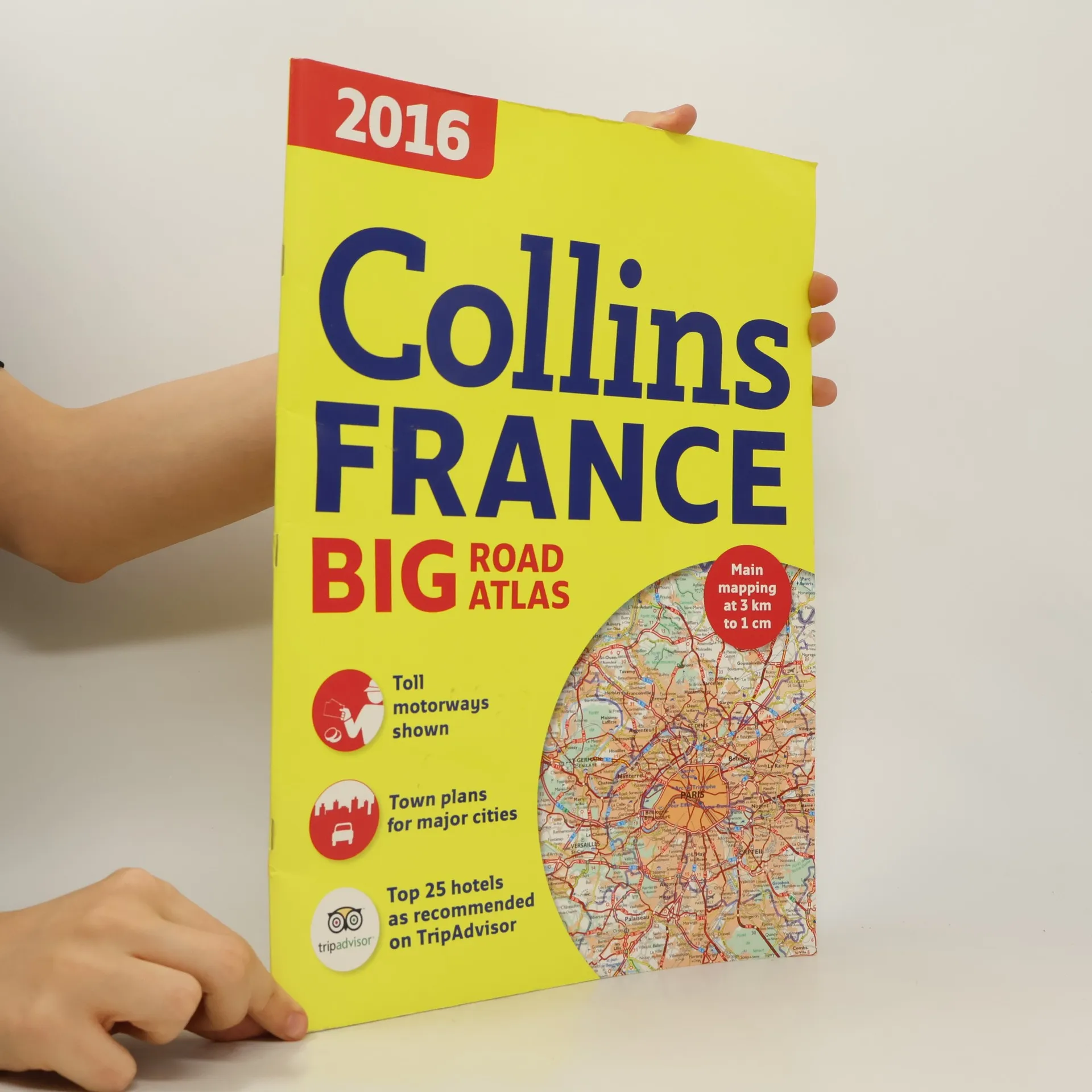
Fully revised, large format A3 road atlas of France containing detailed road mapping, town plans and a comprehensive place name index. Scale 1:300,000 (1 cm to 3 km). Clear, easy-to-follow road maps of France produced from the up-to-date digital database at a scale of 1:300 000 (1 cm to 3 km). Euroroutes and motorways easily distinguished. International road classification, road distances in kilometers and relief shown by attractive hill shading. Included are details on driving regulations for all European countries; route planning maps; a distance map and chart; 8 through route maps of the following cities: Bordeaux, Lille, Lyon, Paris, Marseille, Nice, Strasbourg, and Toulouse; and the top 25 TripAdvisor Travellers' Choice hotels, with images and contact details for the best reviewed hotels in France, locations including Paris, Burgundy, French Riviera, Corsica, and Loire Valley. The mapping covers the whole of France, including Corsica and also includes Luxembourg.
Compra de libros
Collins Road Atlas France, Autores varios
- Idioma

- Publicado en
- 2016
- product-detail.submit-box.info.binding
- (A caballete)
Métodos de pago
Nos falta tu reseña aquí
- Título
- Collins Road Atlas France
- Idioma
- Inglés
- Autores
- Autores varios
- Editorial
- William Collins & Sons
- Publicado en
- 2016
- Formato
- A caballete
- Páginas
- 112
- ISBN10
- 0008146586
- ISBN13
- 9780008146580
- Serie
- Etiquetas
- No ficción, Mapas y viajes, Mapas & Atlas
- Calificación
- 4,5 de 5
- Descripción
- Fully revised, large format A3 road atlas of France containing detailed road mapping, town plans and a comprehensive place name index. Scale 1:300,000 (1 cm to 3 km). Clear, easy-to-follow road maps of France produced from the up-to-date digital database at a scale of 1:300 000 (1 cm to 3 km). Euroroutes and motorways easily distinguished. International road classification, road distances in kilometers and relief shown by attractive hill shading. Included are details on driving regulations for all European countries; route planning maps; a distance map and chart; 8 through route maps of the following cities: Bordeaux, Lille, Lyon, Paris, Marseille, Nice, Strasbourg, and Toulouse; and the top 25 TripAdvisor Travellers' Choice hotels, with images and contact details for the best reviewed hotels in France, locations including Paris, Burgundy, French Riviera, Corsica, and Loire Valley. The mapping covers the whole of France, including Corsica and also includes Luxembourg.