
Este es el que agregas al carrito
Series
Más información sobre el libro
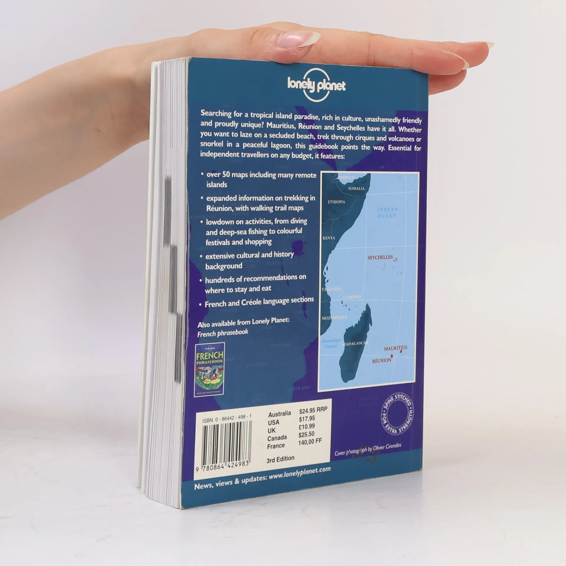
Each of these three islands are melting pots of races, religions and cultures. This travel guide suggests visiting the Seychelles for the beaches, Reunion for the mountains and the alpine scenery, and Mauritius for the people and culture, and includes advice and information on all."


Compra de libros
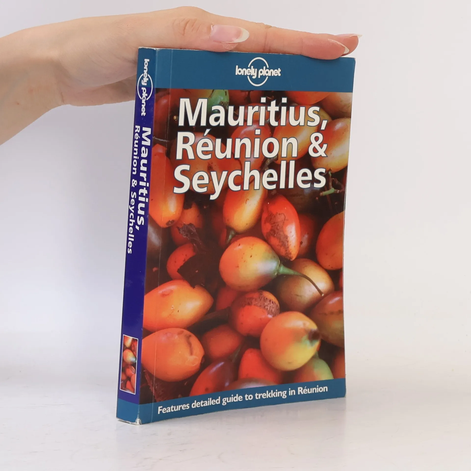
Mauritius, Réunion & Seychelles, Sarina Singh, Deanna Swaney, Roberto Strauss
- Idioma

- Publicado en
- 1998
- product-detail.submit-box.info.binding
- (Tapa blanda),
- Estado del libro
- Bueno
- Precio
- 3,59 €
Métodos de pago
Nos falta tu reseña aquí
- Título
- Mauritius, Réunion & Seychelles
- Idioma
- Inglés
- Autores
- Sarina Singh, Deanna Swaney, Roberto Strauss
- Editorial
- Lonely Planet
- Publicado en
- 1998
- Formato
- Tapa blanda
- Páginas
- 416
- ISBN10
- 0864424981
- ISBN13
- 9780864424983
- Serie
- Lonely Planet
- Etiquetas
- No ficción, Mapas y viajes, Viajes, Guías y Manuales, Guías turísticas, Islas, Mauricio, Océano Índico, Seychelles
- Título original
- Mauritius, Réunion & Seychelles
- Calificación
- 4,05 de 5
- Descripción
- Each of these three islands are melting pots of races, religions and cultures. This travel guide suggests visiting the Seychelles for the beaches, Reunion for the mountains and the alpine scenery, and Mauritius for the people and culture, and includes advice and information on all."