
Más información sobre el libro
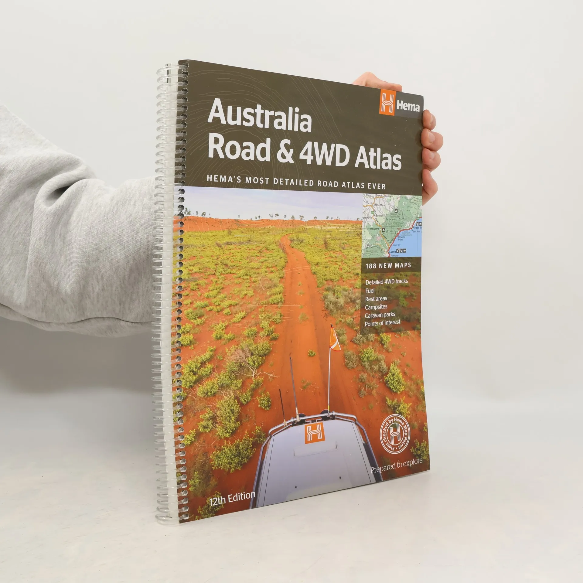
Featuring trusted Hema mapping for all of Australia, the Hema Road & 4WD Atlas is the definitive travel guide for tourers and adventurers. Hema atlases feature more information useful to travellers, including 4WD tracks, campsites, caravan parks, rest areas, 24-hour fuel and points of interest. The new edition contains more mapping than ever before, which is enhanced by a striking new cartographic style that¿s incredibly easy to read. Included in this is up-to-date mapping for Australia¿s biggest 4WD destinations: Cape York, Fraser Island, the Top End, the Kimberley, the Pilbara, Central Australia, High Country Victoria and the Flinders Ranges. A handy distance grid, national park guide, list of accredited information centres and a complete index are also included to assist with trip planning and navigation, making it the perfect tool for guiding tourers, campers, road trippers and off-roaders throughout Australia.
Compra de libros
Australia Road & 4WD Atlas, Hema Maps Australia Staff
- Idioma

- Publicado en
- 2017
- product-detail.submit-box.info.binding
- (Tapa blanda)
Métodos de pago
Nadie lo ha calificado todavía.
- Título
- Australia Road & 4WD Atlas
- Subtítulo
- HEMAs Most Detailed Road Atlas Ever With 188 New Maps - 12th Edition - Spiral Bound
- Idioma
- Inglés
- Autores
- Hema Maps Australia Staff
- Editorial
- Hema
- Publicado en
- 2017
- Formato
- Tapa blanda
- Páginas
- 224
- ISBN10
- 1876413441
- ISBN13
- 9781876413446
- Serie
- Etiquetas
- No ficción, Mapas y viajes, Viajes, Australia
- Descripción
- Featuring trusted Hema mapping for all of Australia, the Hema Road & 4WD Atlas is the definitive travel guide for tourers and adventurers. Hema atlases feature more information useful to travellers, including 4WD tracks, campsites, caravan parks, rest areas, 24-hour fuel and points of interest. The new edition contains more mapping than ever before, which is enhanced by a striking new cartographic style that¿s incredibly easy to read. Included in this is up-to-date mapping for Australia¿s biggest 4WD destinations: Cape York, Fraser Island, the Top End, the Kimberley, the Pilbara, Central Australia, High Country Victoria and the Flinders Ranges. A handy distance grid, national park guide, list of accredited information centres and a complete index are also included to assist with trip planning and navigation, making it the perfect tool for guiding tourers, campers, road trippers and off-roaders throughout Australia.