


Más información sobre el libro
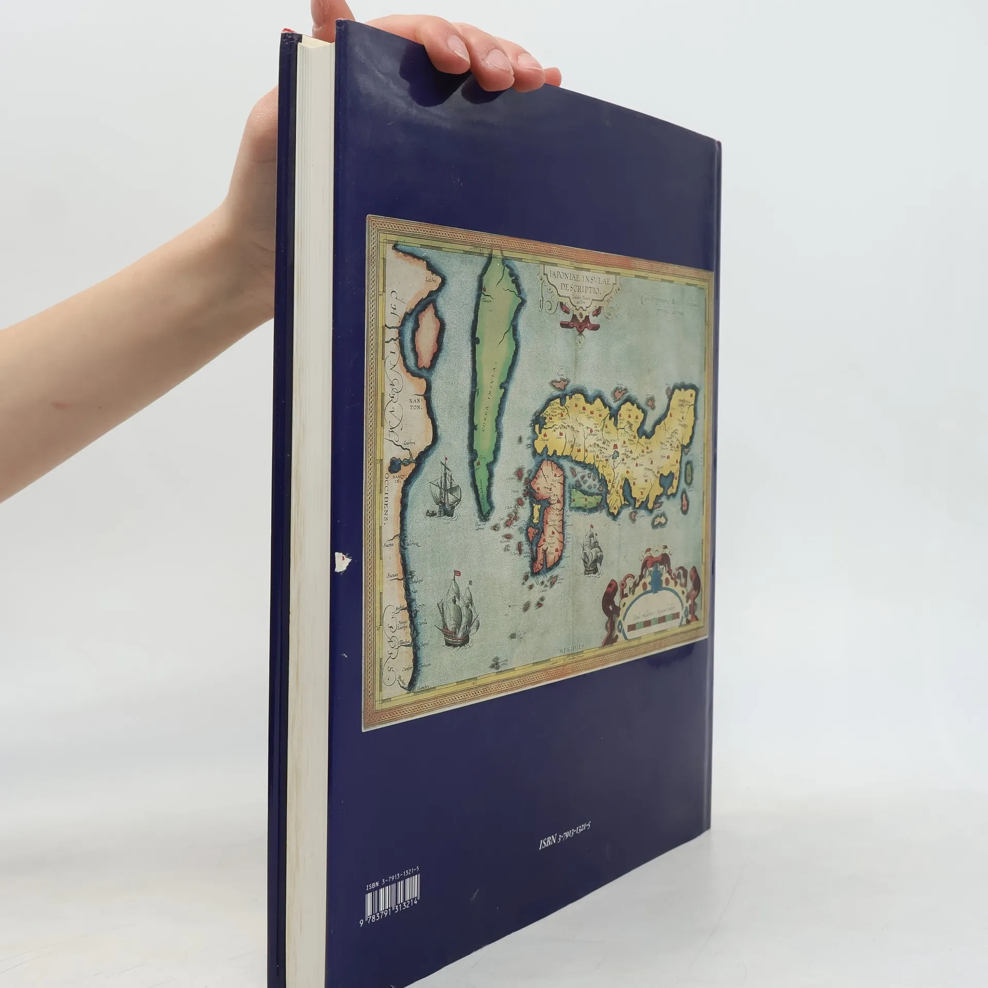
A Cartographic Vision is a celebration, in words and pictures, of the spectacular and colorful maps of Japan produced by Europeans. It explores the changing shape of Japan as conceived by Western explorers and cartographers, from the crude and fanciful depictions of the early sixteenth century to the first accurate maps published in the mid-nineteenth century.Essays by a team of international experts give the historical background to three and a half centuries of European contact with Japan and the Japanese. The period begins with the early encounters by Portuguese missionaries and merchants, followed by the visits of Dutch and English traders in the late sixteenth and early seventeenth centuries, and ends with Japan's self-imposed 200-year isolation, when the only Western contact with Japan was via the Dutch trading post on the tiny man-made island of Dejima.An important feature of the book is the List of Printed Maps of Japan before 1900, which will be of value to the map historian and collector. Consisting of 128 items, it incorporates the results of recent research and updates Dr. Tony Campbell's pioneering European Printed Maps to 1800, published in 1967.
Compra de libros
Japan, A Cartographic Vision, Lutz Walter
- Idioma
- Publicado en
- 1994
- product-detail.submit-box.info.binding
- (Tapa blanda),
- Estado del libro
- Dañado
- Precio
- 6,54 €
Métodos de pago
Nos falta tu reseña aquí
- Título
- Japan, A Cartographic Vision
- Autores
- Lutz Walter
- Editorial
- Prestel
- Publicado en
- 1994
- Formato
- Tapa blanda
- Páginas
- 216
- ISBN10
- 3791313215
- ISBN13
- 9783791313214
- Serie
- Etiquetas
- Catálogos de exposiciones
- Calificación
- 4 de 5
- Descripción
- A Cartographic Vision is a celebration, in words and pictures, of the spectacular and colorful maps of Japan produced by Europeans. It explores the changing shape of Japan as conceived by Western explorers and cartographers, from the crude and fanciful depictions of the early sixteenth century to the first accurate maps published in the mid-nineteenth century.Essays by a team of international experts give the historical background to three and a half centuries of European contact with Japan and the Japanese. The period begins with the early encounters by Portuguese missionaries and merchants, followed by the visits of Dutch and English traders in the late sixteenth and early seventeenth centuries, and ends with Japan's self-imposed 200-year isolation, when the only Western contact with Japan was via the Dutch trading post on the tiny man-made island of Dejima.An important feature of the book is the List of Printed Maps of Japan before 1900, which will be of value to the map historian and collector. Consisting of 128 items, it incorporates the results of recent research and updates Dr. Tony Campbell's pioneering European Printed Maps to 1800, published in 1967.