

Este es el que agregas al carrito
Más información sobre el libro
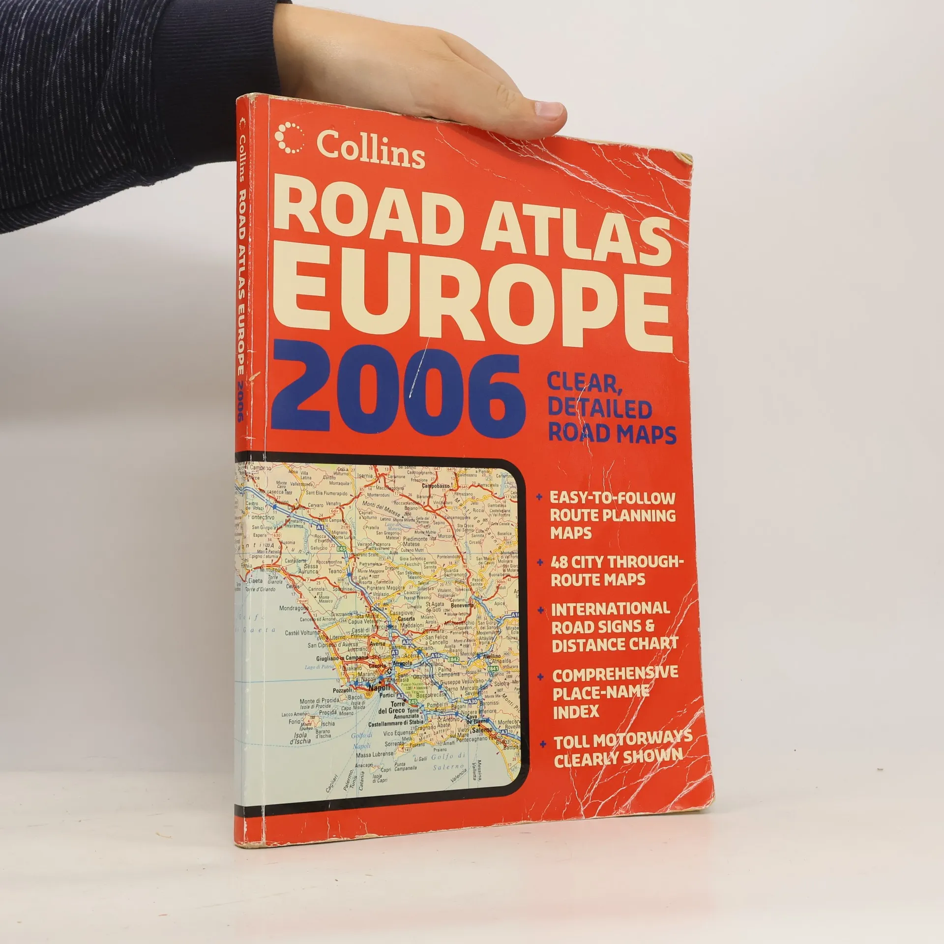
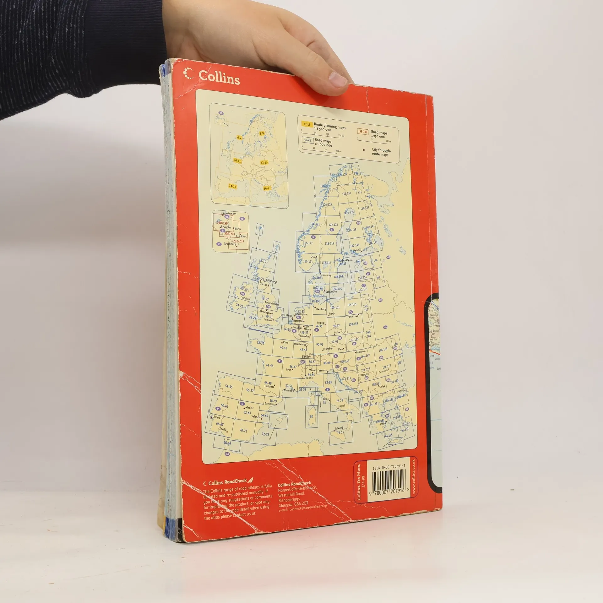
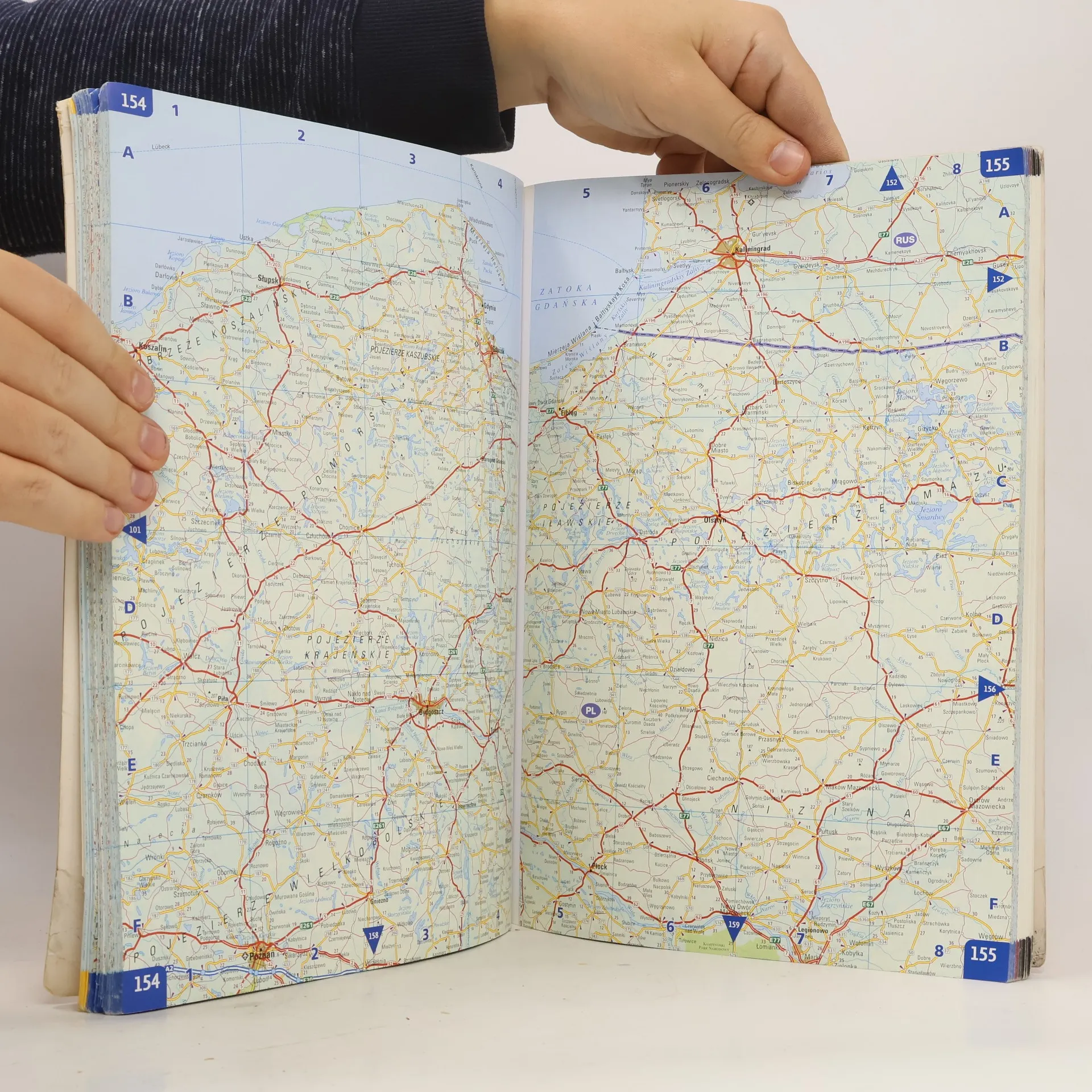
A4 formatScale 1:1 000 000 (1 cm to 10 kms / 1 inch to 16 miles)A fully revised edition of A4 paperback road atlas containing road mapping, route planning maps, large scale road maps of the Ruhr and Rhine, city through route maps and a comprehensive place names index.
Compra de libros
Collins Road Atlas Europe 2006,
- Idioma
- Publicado en
- 2006
- Encuadernación
- (Tapa blanda),
- Estado del libro
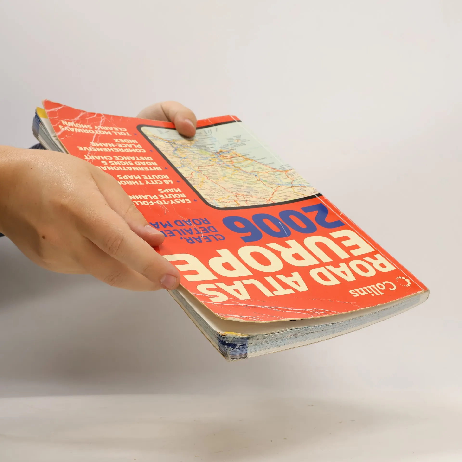
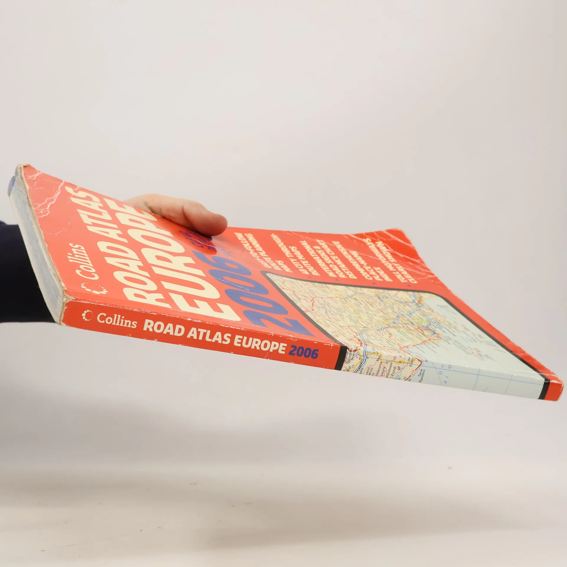
- Dañado
- Precio
- 6,09 €
Métodos de pago
Nadie lo ha calificado todavía.
- Título
- Collins Road Atlas Europe 2006
- Subtítulo
- Clear, Detailed Road Maps - Easy-To-Follow Route Planning Maps - 48 City Through-Route Maps - International Road Signs & Distance Chart - Comprehensive Place-Name Index - Toll Motorways Clearly Shown
- Autores
- Editorial
- Collins
- Publicado en
- 2006
- Formato
- Tapa blanda
- Páginas
- 280
- ISBN10
- 0007207913
- ISBN13
- 9780007207916
- Serie
- Etiquetas
- Viajes, Guías y Manuales, Europa, Atlas, Atlas de automóviles
- Descripción
- A4 formatScale 1:1 000 000 (1 cm to 10 kms / 1 inch to 16 miles)A fully revised edition of A4 paperback road atlas containing road mapping, route planning maps, large scale road maps of the Ruhr and Rhine, city through route maps and a comprehensive place names index.