
Este es el que agregas al carrito
Parámetros
- 430 páginas
- 16 horas de lectura
Más información sobre el libro
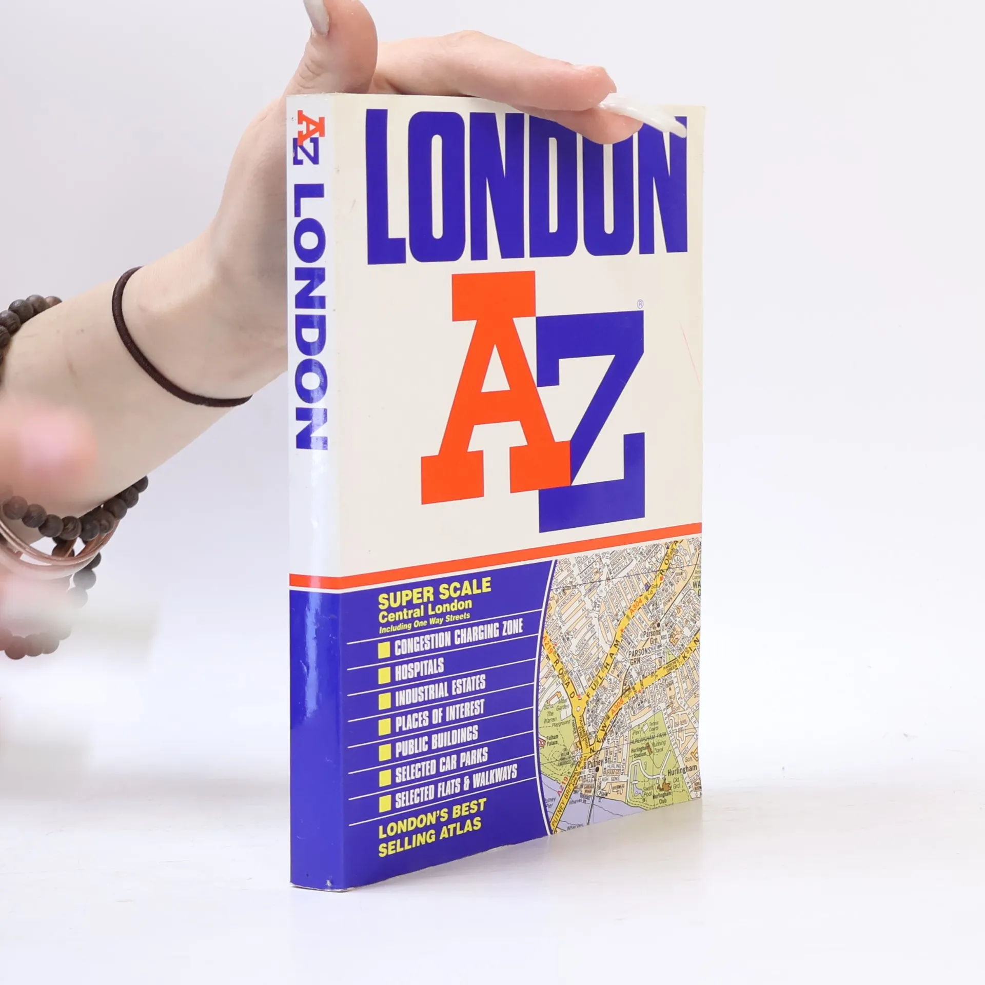
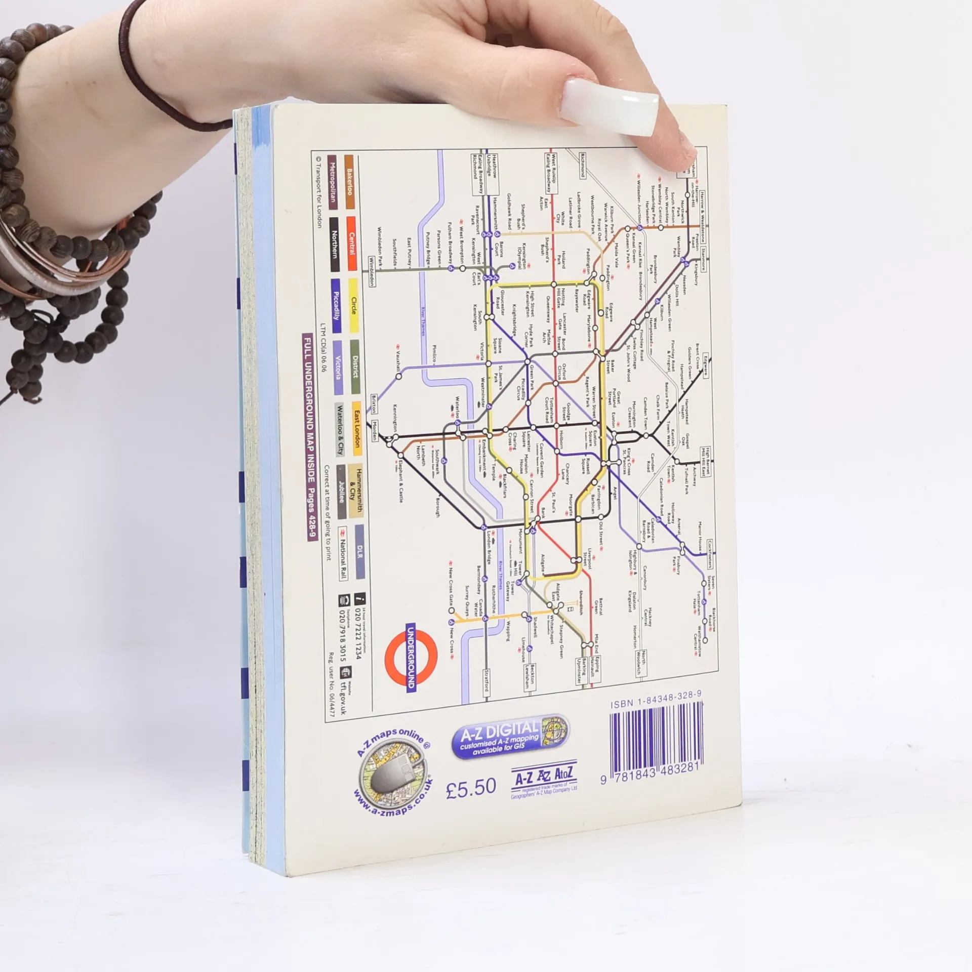
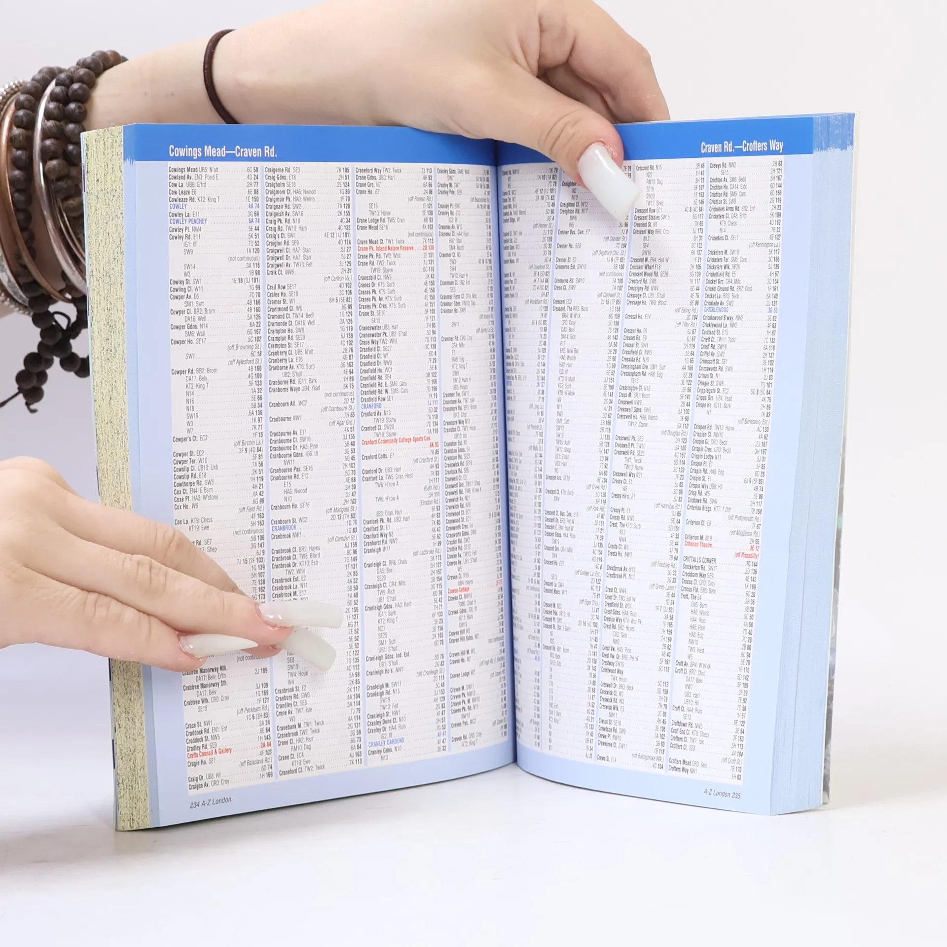
Want to find your way around London? Look no further than London's best selling Atlas - London AZ. The new 2004 edition of this super scale central London atlas includes clear detailed maps covering the central area, one way streets, an index to over 69,000 streets, elected car parks, and railway and Underground connections throughout Greater London.


Compra de libros
London AZ, Autores varios
- Idioma

- Publicado en
- 2007
- product-detail.submit-box.info.binding
- (Tapa blanda),
- Estado del libro
- Bueno
- Precio
- 2,49 €
Métodos de pago
Nos falta tu reseña aquí
- Título
- London AZ
- Idioma
- Inglés
- Autores
- Autores varios
- Editorial
- Geographers' A-Z Map Co Ltd
- Publicado en
- 2007
- Formato
- Tapa blanda
- Páginas
- 430
- ISBN10
- 1843483289
- ISBN13
- 9781843483281
- Serie
- Etiquetas
- No ficción, Mapas y viajes, Viajes, Guías y Manuales, Guías turísticas, Literatura Británica
- Calificación
- 4,55 de 5
- Descripción
- Want to find your way around London? Look no further than London's best selling Atlas - London AZ. The new 2004 edition of this super scale central London atlas includes clear detailed maps covering the central area, one way streets, an index to over 69,000 streets, elected car parks, and railway and Underground connections throughout Greater London.