
Parámetros
- 384 páginas
- 14 horas de lectura
Más información sobre el libro
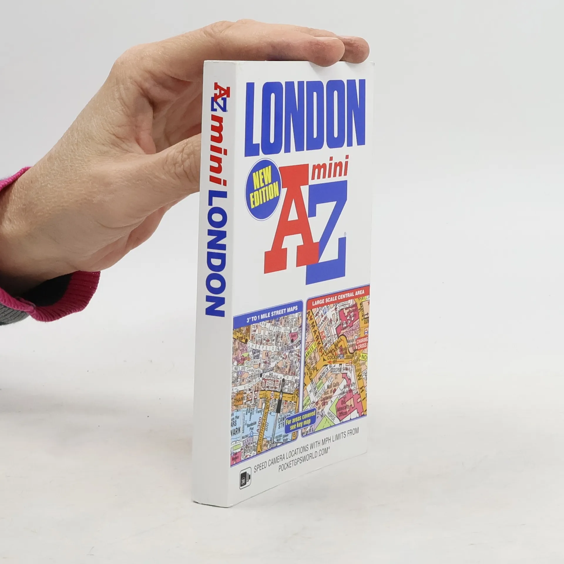
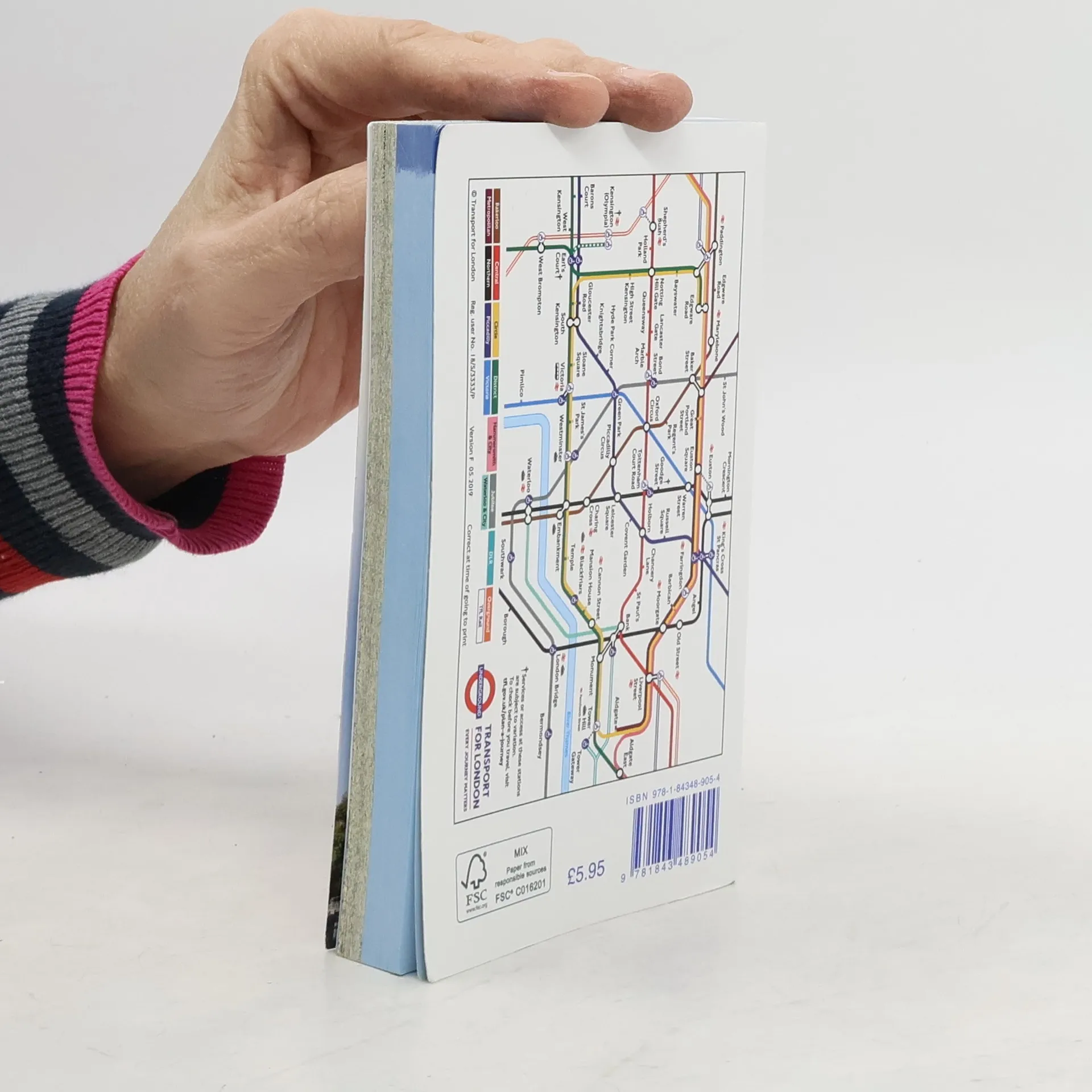
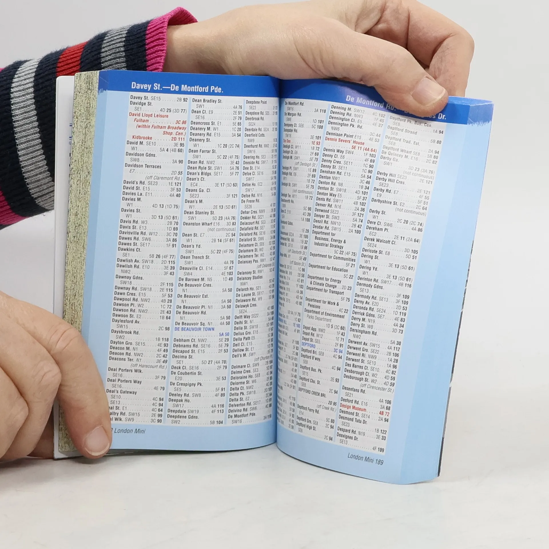
This pocket sized A-Z Mini map of Central London is a full colour, paperback street atlas covering an area extending from the centre of London to: -Brent Cross-Golders Green-Highgate-Finsbury Park-Stoke Newington-Leytonstone-Wanstead-West Ham-Thames Flood Barrier-Eltham-Grove Park-Catford-Streatham-Wimbledon-Barnes Bridge-Willesden Junction-NeasdenIn addition, there is a large-scale street map section of the inner London area which extends north to Regent's Park and Shoreditch, south to London Victoria station and Lambeth, west to Hyde Park and east to Tower Bridge.One-way streets and safety camera locations with their maximum speed limit are featured on both scales of street mapping.The congestion charging zone boundary is shown on both scales of mapping and there is also an overview map of the congestion charging zone. The London Underground Map is featured within the atlas and on the outside back cover is a central London Underground Map.The comprehensive index lists streets, selected flats, walkways and places of interest, place, area and junction names. There are separate index listings for both hospitals, walk-in centres and hospices and for the National Rail, London Tramlink, Docklands Light Railway, London Underground and Overground stations and River Bus piers covered by this atlas.


Compra de libros
London A-Z mini atlas, Autores varios
- Idioma

- Publicado en
- 2012
- product-detail.submit-box.info.binding
- (Tapa blanda)
Métodos de pago
Nos falta tu reseña aquí
- Título
- London A-Z mini atlas
- Idioma
- Inglés
- Autores
- Autores varios
- Editorial
- Geographers' A-Z Map Co Ltd
- Publicado en
- 2012
- Formato
- Tapa blanda
- Páginas
- 384
- ISBN10
- 1843489058
- ISBN13
- 9781843489054
- Serie
- Etiquetas
- No ficción, Mapas y viajes, Viajes, Guías y Manuales, Guías turísticas, Literatura Británica
- Calificación
- 4,55 de 5
- Descripción
- This pocket sized A-Z Mini map of Central London is a full colour, paperback street atlas covering an area extending from the centre of London to: -Brent Cross-Golders Green-Highgate-Finsbury Park-Stoke Newington-Leytonstone-Wanstead-West Ham-Thames Flood Barrier-Eltham-Grove Park-Catford-Streatham-Wimbledon-Barnes Bridge-Willesden Junction-NeasdenIn addition, there is a large-scale street map section of the inner London area which extends north to Regent's Park and Shoreditch, south to London Victoria station and Lambeth, west to Hyde Park and east to Tower Bridge.One-way streets and safety camera locations with their maximum speed limit are featured on both scales of street mapping.The congestion charging zone boundary is shown on both scales of mapping and there is also an overview map of the congestion charging zone. The London Underground Map is featured within the atlas and on the outside back cover is a central London Underground Map.The comprehensive index lists streets, selected flats, walkways and places of interest, place, area and junction names. There are separate index listings for both hospitals, walk-in centres and hospices and for the National Rail, London Tramlink, Docklands Light Railway, London Underground and Overground stations and River Bus piers covered by this atlas.